
LAST UPDATED
November 19, 2025
READING TIME
10
Min
In industries that rely on precision data, GIS and remote sensing are two terms that often come up together. But they are not the same. For decision-makers in sectors like construction, oil and gas, agriculture, and utilities, understanding the distinction can make the difference between costly guesswork and precise planning. At FEDS, we’ve seen first-hand how combining these technologies with drone mapping delivers measurable results.
Remote sensing is about collecting data from a distance, usually through satellites, drones, or aircraft. It captures images and information about the Earth’s surface, covering everything from crop health to infrastructure conditions.
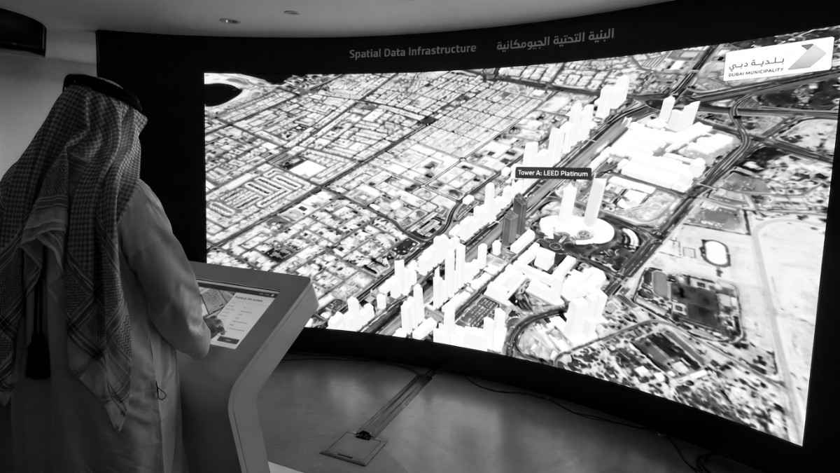
GIS (Geographic Information System), on the other hand, is about managing, analysing, and visualising that data. It provides the framework to make sense of raw imagery, turning it into maps, models, and actionable insights.
Think of remote sensing as the camera, and GIS as the software that processes the photos into a usable format.
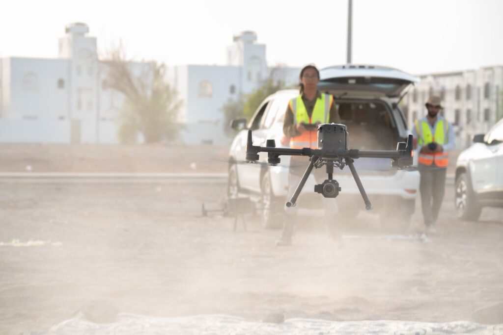
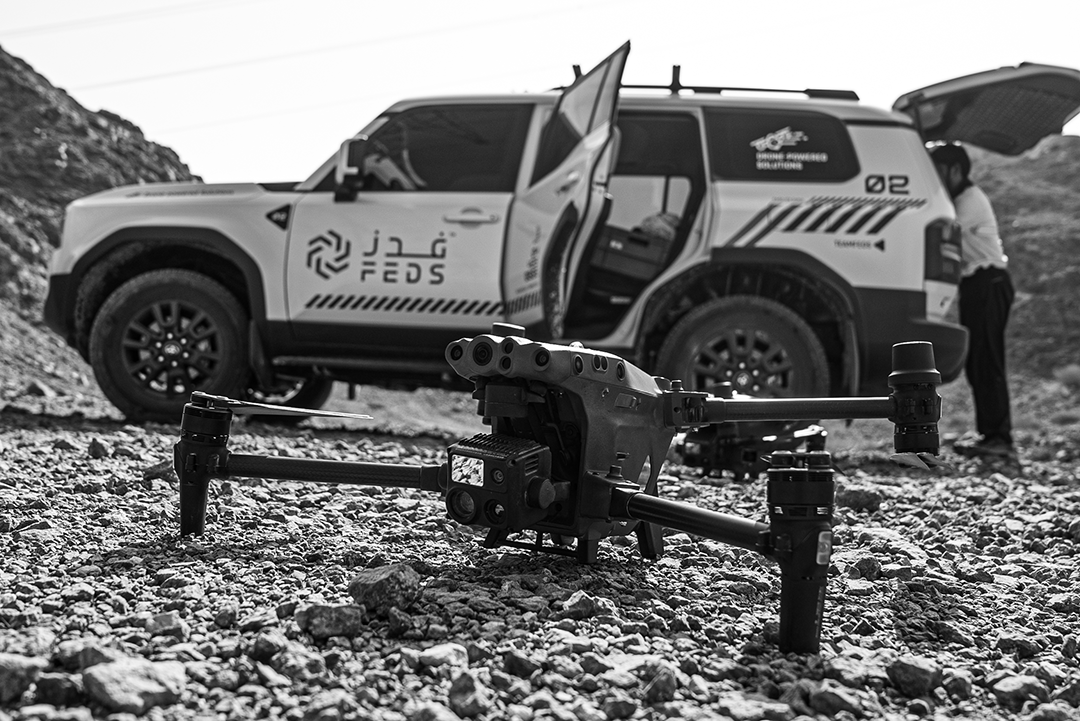
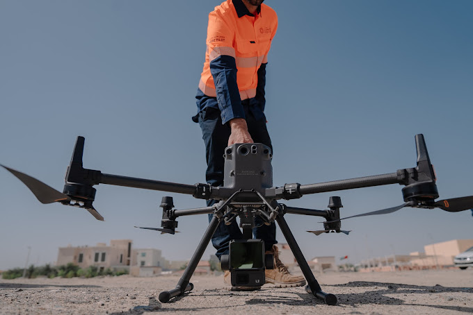
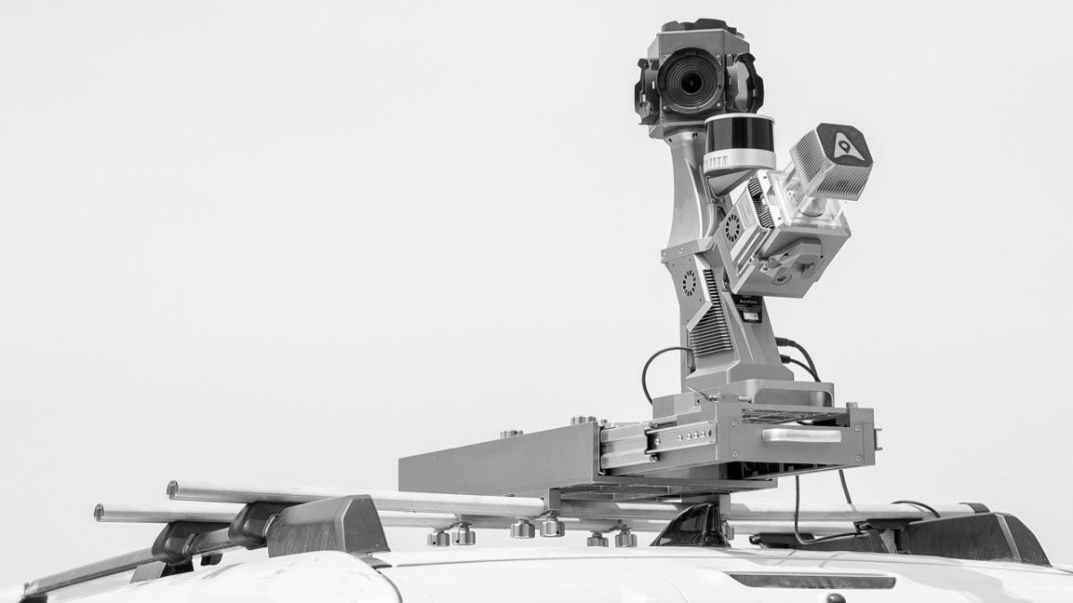
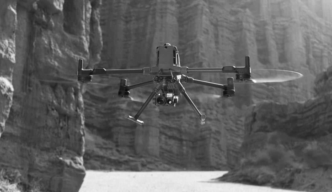
Traditionally, remote sensing relied on satellites or manned aircraft. Today, drones make it faster, safer, and more affordable. With high-resolution cameras and sensors, drones capture detailed images from multiple angles. These images are then processed into aerial surveys and mapping outputs that GIS platforms can analyse.
Some examples include:
At FEDS, we applied drone-based photogrammetry to survey the Middle East’s largest limestone quarry, spanning 13.7 km², within a single day. The result? Horizontal accuracy of 3 cm and vertical accuracy of 6 cm. This level of detail would have taken weeks with traditional surveying methods, but drones delivered it in hours.
The client was able to calculate volumes, track resources, and plan more efficiently, demonstrating how GIS and remote sensing, powered by drones, translate into real-world business value.
When considering drone mapping solutions, keep these tips in mind:
Remote sensing is the process of collecting data about the Earth’s surface from a distance, using drones, satellites, or aircraft. It provides images and measurements without needing to be physically on-site.
GIS (Geographic Information System) is a software-based framework that stores, analyses, and visualises spatial data. Unlike remote sensing, which collects raw information, GIS turns that information into spatially accurate maps, models, and decision-making tools.
With proper planning and photogrammetry techniques, drone surveys can achieve centimetre level accuracy. This makes them suitable for industries like construction, mining, and utilities where precision is essential.
Remote sensing captures the ‘what’, while GIS explains the ‘so what’. Together, they provide a complete picture, allowing businesses to act on reliable, analysed data rather than assumptions. Together, they help industries move from raw data to strategic action.
Understanding the difference between GIS and remote sensing is not just a technical detail. It’s a business advantage. When integrated with drone technology, these tools provide precise, actionable insights that improve efficiency, safety, and cost-effectiveness.
At FEDS, we specialise in applying these technologies to real-world challenges, from construction to agriculture. Contact us to explore how our drone solutions can benefit your business.


.webp)