From Ground Truth to Boardroom Views
Get geo-referenced drone data and visual progress timelines, so managers, contractors, and stakeholders can see the full picture, month after month. With Drone Construction Monitoring, you get accurate, real-time insights into your project’s progress.
.webp)


.webp)


.webp)


.webp)


.webp)


Why Construction Monitoring Often Falls Short
Progress updates are slow and inconsistent, and hard to verify

Rework increases due to lack of as-built comparisons

Historical records are incomplete or scattered across vendors

Teams rely on fragmented data from multiple vendors

Ground access delays monitoring and adds safety risks

Reporting takes too long to influence real-time decisions

Specialised equipment and staff raise operational costs

Reworks result in wasted time, materials, and adds unnecessary emissions

We fly the same drone path each month to create a consistent visual record of site progress. Paired with static timelapse cameras, you get reliable updates that contractors, consultants, and stakeholders can all reference, without stepping on site.

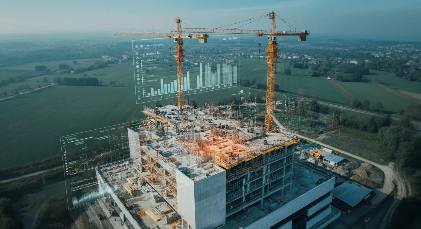
Our geo-referenced data helps you overlay as-planned designs with as-built reality. Spot delays early, avoid scope creep, and keep your project timeline intact, without relying on scattered reports or manual photos.
From permit to final report, every flight and file is handled in-house by FEDS. That means faster turnaround, full control of quality, and zero gaps in your project’s historical data archive, ensuring seamless construction monitoring every time.

Technical Capabilities
Drone Platforms
and Payloads
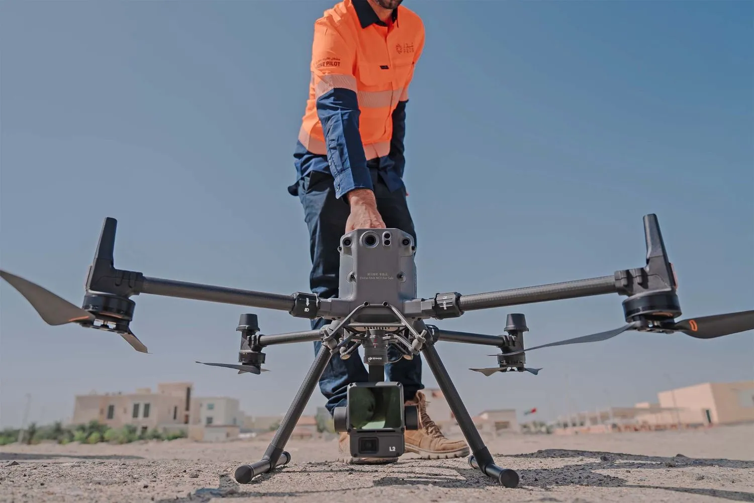
RGB-equipped drone fleet with high-resolution sensors and fixed-position timelapse cameras.
Flight paths and camera positions are optimized to match project timelines and key milestones.
Data Accuracy
and Coverage
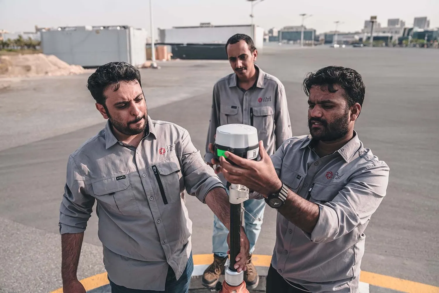
Captures with ground sampling distances (GSD) as precise as 5 cm.
Repeatable aerial routes ensure consistent progress tracking across large, active construction zones, perfect for construction progress monitoring.
Processing
and Analysis
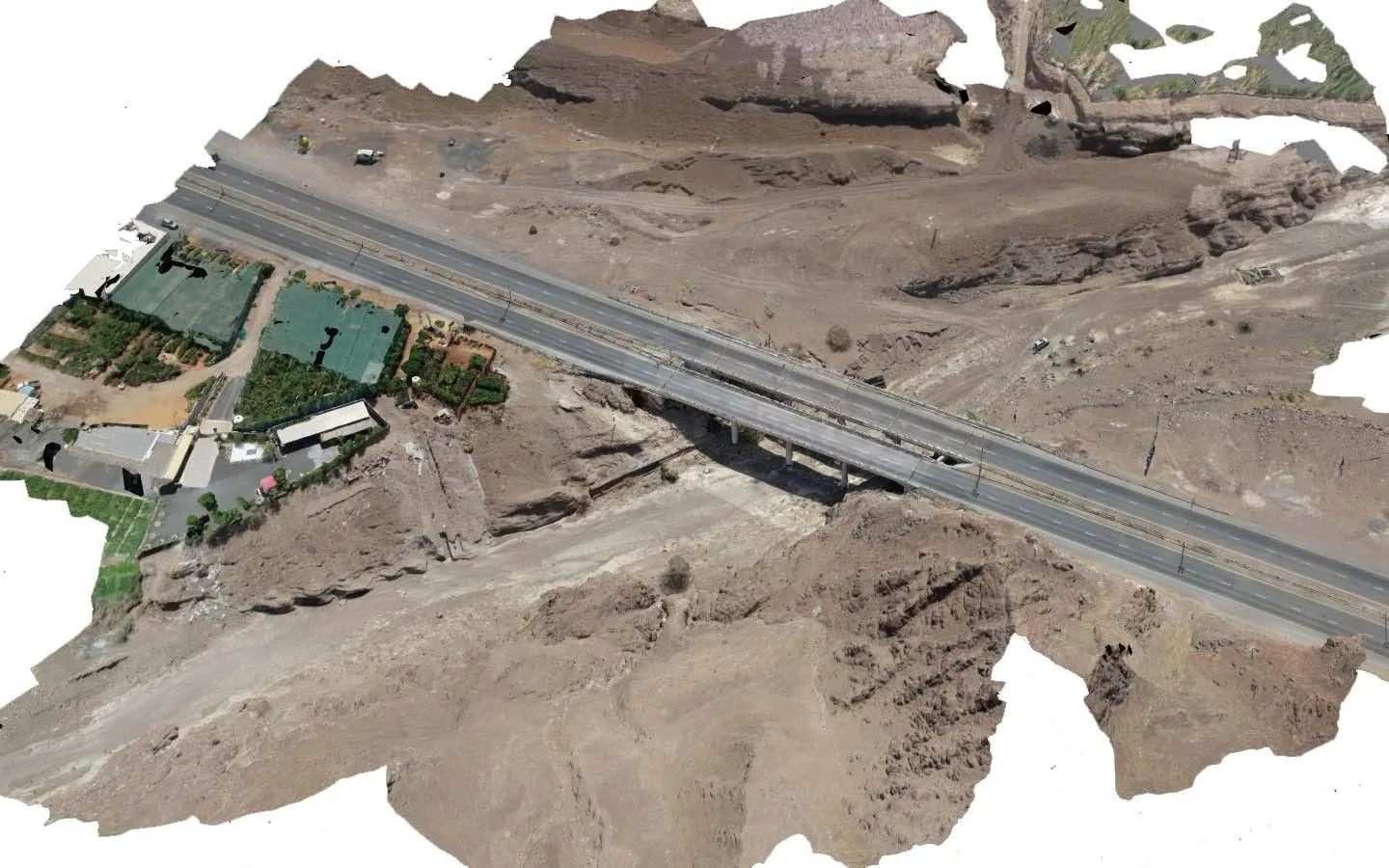
Millions of images stitched, processed, and layered with plan data.
Outputs include annotated progress maps, visual timelines, volume estimates, and cloud-based reports.
Security
and Compliance

Aligned with UAE aviation and municipal regulations, FEDS is an ISO 21384-3:2023, ISO 9001, ISO 14001, ISO 45001 and ISO 27001 certified entity.
Proven Capability at Scale
.webp)
.webp)


.svg)
.webp)