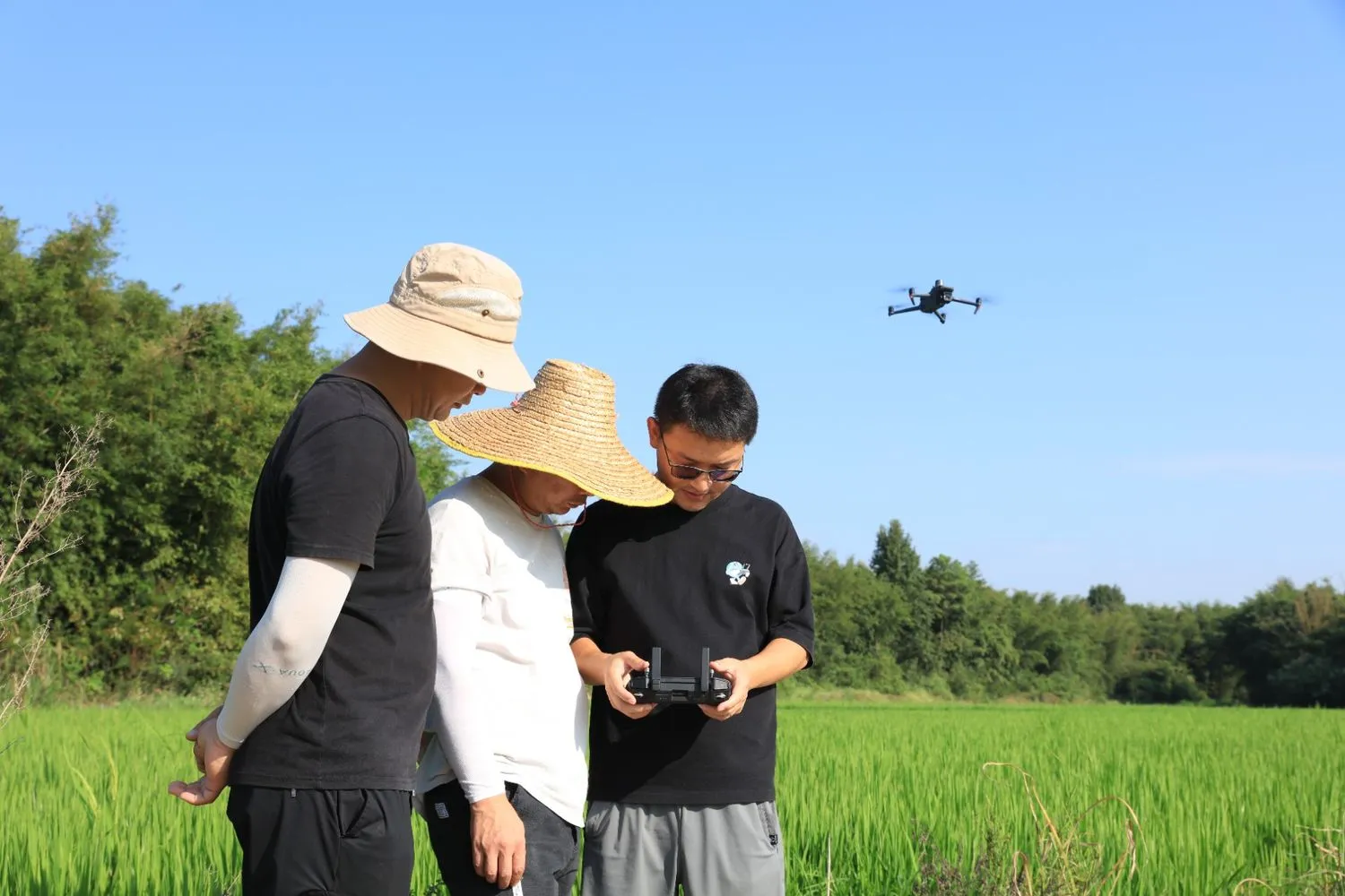
Modernise agricultural land monitoring with drone data
Governments and municipalities trust FEDS to inspect thousands of square kilometres in days, not weeks. Access accurate crop health data, detect boundary violations, and reveal land-use insights with NDVI sensors and in-house AI classification, all without setting foot in the field.
.webp)
Why monitoring agricultural land at scale is so challenging
Manual inspections are slow, inconsistent, and labor-intensive.

Land misuse and violations are difficult to detect early.

Boundary changes often go unnoticed until disputes arise.
Pest outbreaks are detected too late for effective control.
Irrigation issues are not visible at scale.
Soil health is hard to assess remotely with accuracy.
Data is fragmented across multiple contractors.
Decisions are delayed due to outdated or incomplete reports.
Everything You Need to Monitor Agricultural Land - from the air, in-house, and on time
Built for teams who need reliable data, not contractor complexity. FEDS combines precision agricultural drone surveys, in-house data processing, and AI-powered analysis to provide complete visibility into land use and crop health.
Large-Scale Farmland Surveys, Completed in Days

We execute missions across hundreds and thousands of square kilometers with minimal personnel. From permits to flight plans and execution, everything is handled by our team, allowing you to inspect more land in less time.
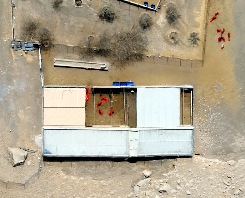
Aerial Data That Flags Misuse, Violations, and Risk Areas

Our drones for crop inspection use NDVI, RGB, and thermal sensors to capture detailed imagery of farmland. This data reveals issues like poor irrigation, illegal waste burning, unapproved boundary changes, pest infestation, and compliance violations. All visible in a single aerial layer.
AI-Powered Classification for Faster, Smarter Decision-Making

Once collected, data is processed using customised AI models we’ve trained and fine-tuned with our own regional datasets and quality controls. The result: clear insights on crop health, land use patterns, and compliance risks. No raw footage. No guesswork. Just actionable outputs.
100% In-House Operations with Faster, More Secure Turnarounds
Unlike many providers, FEDS doesn’t outsource or subcontract any part of the workflow. All data collection, processing, and reporting is done by our internal team. That means tighter control, faster delivery, and higher data security. This approach ensures that the drone agriculture services you receive are not only efficient but also secure and reliable.
Built for Scale, Precision, and Government
Benchmarks
FEDS uses rigorously tested drone platforms and advanced sensors selected through real-world field validation. We only deploy equipment that meets our standards for reliability, data quality, and mission success.
Drone Platforms and Payloads
Data Accuracy and Coverage
Processing and Analysis
Security and Compliance
Mapping 1,100 km² of Farmland
.webp)
.webp)


.webp)