Faster Site Visibility. Fewer Reworks. Safer Execution.
FEDS helps organisations survey sites, monitor progress, and inspect critical assets across complex sites—without slowing down construction.
.webp)
Why Engineering Projects Fall Behind Schedule
Manual surveys are slow, repetitive, and prone to errors

Design versus build mismatches drive costly rework

Reporting is fragmented and not unified across teams
Inspections often require shutdowns or added safety risks
Progress tracking is inconsistent and frequently delayed
Design changes aren’t reflected on-site quickly enough
Construction data is scattered across systems and vendors
Limited onsite hours reduce time available for inspections
Everything You Need to Keep Construction Moving With Speed, Accuracy, and Control.
FEDS unites LiDAR mapping, drone inspections, and AI-powered analysis to help engineering teams survey, monitor, and verify projects with precision—without halting work or compromising safety.
End-to-end drone solutions from planning to construction & inspections

FEDS supports the full project lifecycle, from pre-construction terrain mapping to post-completion audits. Using LiDAR and high-resolution RGB sensors, we deliver accurate, GIS-ready data directly to architects, consultants, and project leads.
Progress Monitoring
That Keeps Everyone
Aligned

We conduct monthly aerial missions using drone construction surveys to capture site conditions from the same vantage points, creating a visual timeline of your project. Data is shared in platform-ready formats for all stakeholders to stay aligned without site visits.
Inspections Without Downtime or Disruption
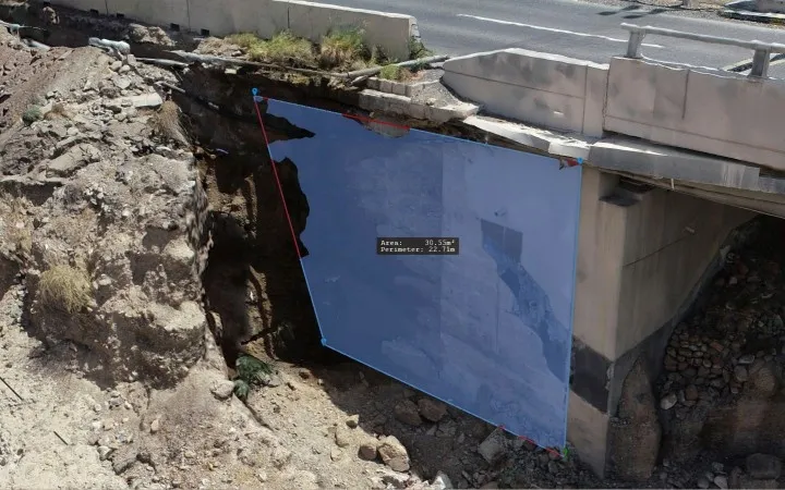
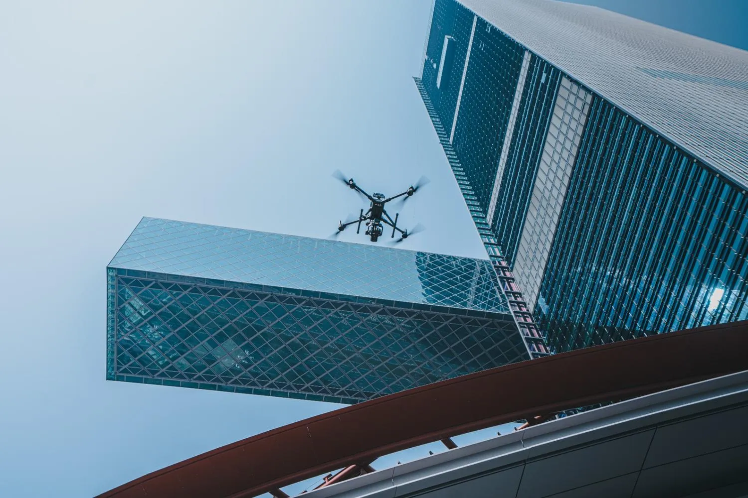
Our drones inspect highways, dam walls, bridges, and other critical infrastructure, without halting operations or adding exposure hours. From safety audits to façade scans and compliance checks, we deliver accurate data with minimal disruption.
100% In-House Execution for Large-Scale Sites
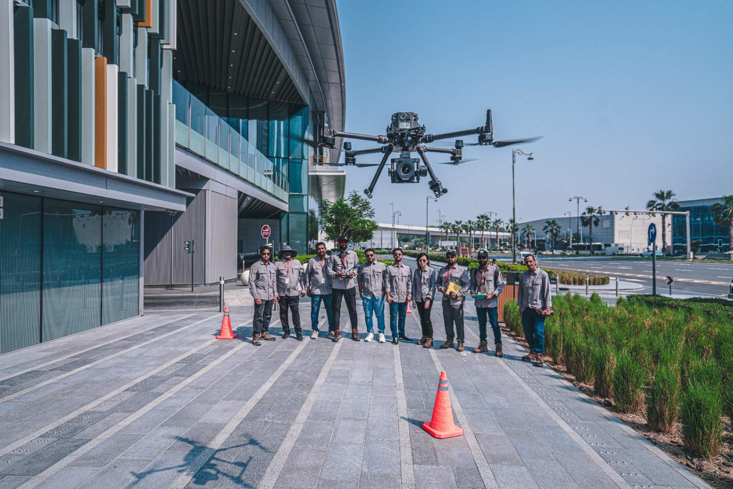
From flight permits to reporting, every step is handled by FEDS. No subcontractors. No delays. This control enables us to service massive construction zones faster—with full compliance and information security.
Drone Data Solutions Built for Scale and Accuracy in AEC
Drone Platforms and Payloads
Data Accuracy and Coverage
Processing and Analysis
Security and Compliance
Turning Weeks into Two Days at One Za'abeel
.webp)

.webp)


.webp)