Showcase Spaces. Inspect Facades. Fast.
FEDS helps property developers, owners and architectural firms capture stunning visuals, run structural building inspections, and maintain high-value assets without scaffolding or delays.

What’s Broken in Real Estate Maintenance and Marketing
Facade inspections require rope access, scaffolding, or costly shutdowns

Visual media lacks aerial context or consistency

Pre-build designs often miss accurate site inputs
Post-build visuals delay marketing and leasing efforts
Structural issues go unnoticed between scheduled inspections
Manual reports are slow, siloed and hard to share
Ground-based Media contractors often lack technical expertise
Visual data isn’t properly captured, archived or centralised
Everything You Need to Capture and Inspect. From Rooftops to Aerial Views.
Our real estate solution is built for teams who need flawless visuals—not disruption. FEDS delivers FPV footage, facade scans, and 360° imagery to showcase and inspect faster. No scaffolding. No downtime. Just precision from every angle.
Pre-Construction Inputs for Better Design Alignment

FEDS conducts site mapping and topographic surveys before a single slab is poured. We help architects, consultants, and project owners visualize spatial realities during planning.
Visual Media That Matches the Space Itself

We deliver drone real estate photography, FPV flythroughs, and 360° visuals that showcase your property’s design, layout, and ambience - giving potential guests and investors a virtual experience that sets you apart.
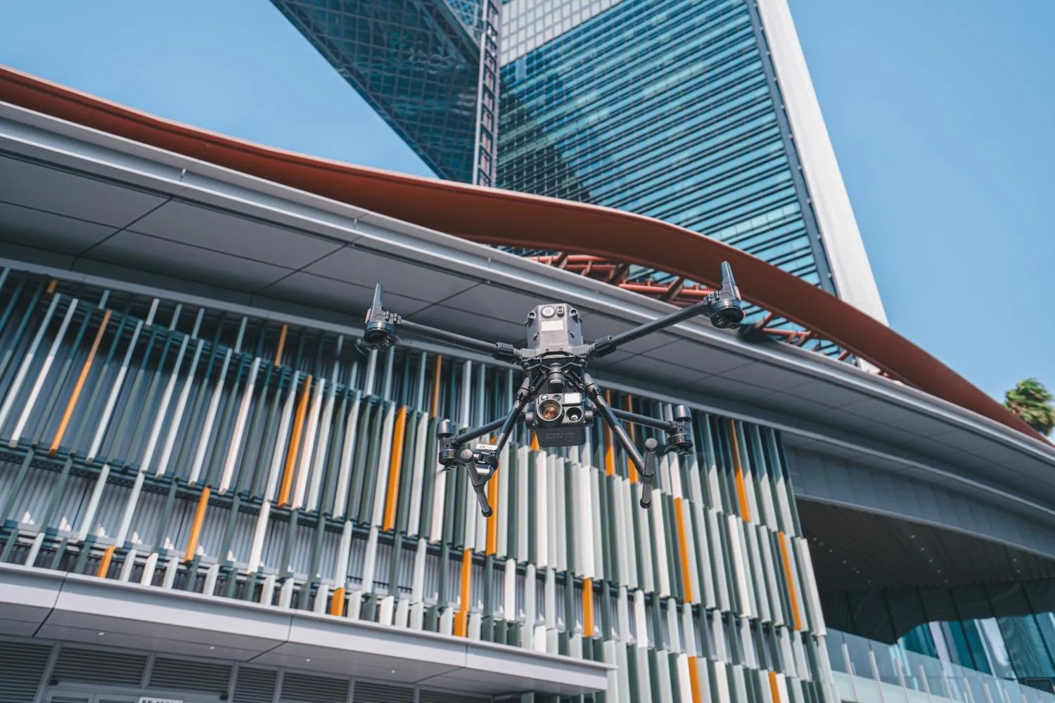
Safer, Faster, Non-Invasive Facade & Roof Inspections

Using high-resolution cameras, thermal sensors, and stable flight systems, we scan skyscrapers and hotel facades with drone facade inspection technology without rope teams or platform lifts. No downtime. No disruption.
End-to-End Media and Inspection, Fully In-House
From flight plans to post-production, FEDS delivers faster turnarounds, higher creative standards, and tighter data security, with no subcontractors involved.
Built for Precision, Safety, and Aesthetic Integrity
Drone Platforms and Payloads
Data Accuracy and Coverage
Processing and Analysis
Security and Compliance
600+ Land Parcels Surveyed, From Estimates to Exacts
.webp)


.webp)