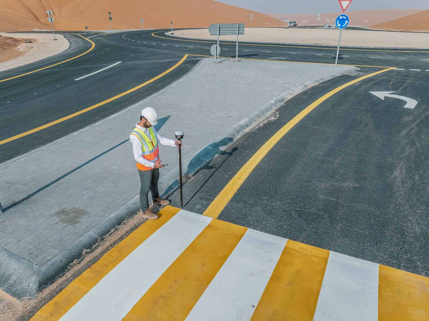
Ground Level Intelligence.
No Drone Required.
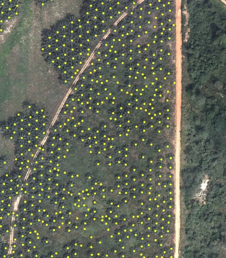
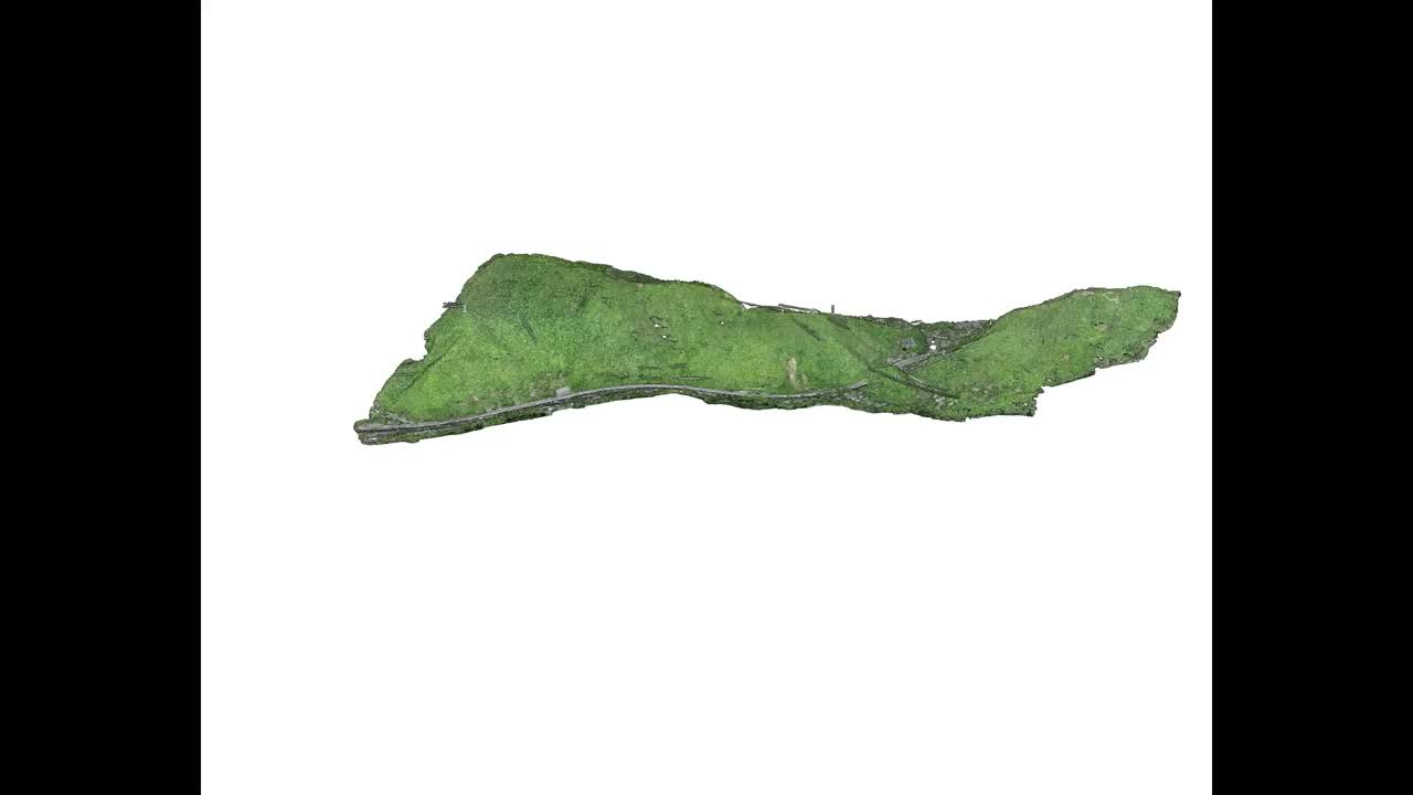
From busy road corridors to offshore seabeds, FEDS delivers ground and marine geospatial survey services across Dubai and Abu Dhabi — mobile mapping, GPR, land survey, bathymetric survey, handheld LiDAR, pipeline survey, and AI pavement analytics. One team. One dataset. No gaps.


.webp)


.webp)


Why Standard Survey Scopes Fail Complex Projects
Subsurface utilities unknown before excavation begins

Survey data fragmented across multiple vendors

Corridor projects are systematically under-surveyed
No single dataset covers land and water
Historical records are incomplete or missing
Deliverables arrive too late to influence design
Ground conditions unknown until construction begins
Rework traced back to incomplete survey inputs
FEDS integrates mobile mapping, GPR, land survey, bathymetric survey, and handheld scanning into a single co-registered dataset — one team, one QA framework, no vendor gaps.
SLAM-based handheld LiDAR and mobile scanners extend full coverage into tunnels, basements, MEP voids, and confined zones — with the same accuracy and output format as the rest of the dataset.
Every dataset is QA-validated and formatted directly for AutoCAD, ArcGIS, Bentley MicroStation, or Revit. Subsurface maps meet UAE municipality standards. Bathymetric outputs comply with port authority requirements.
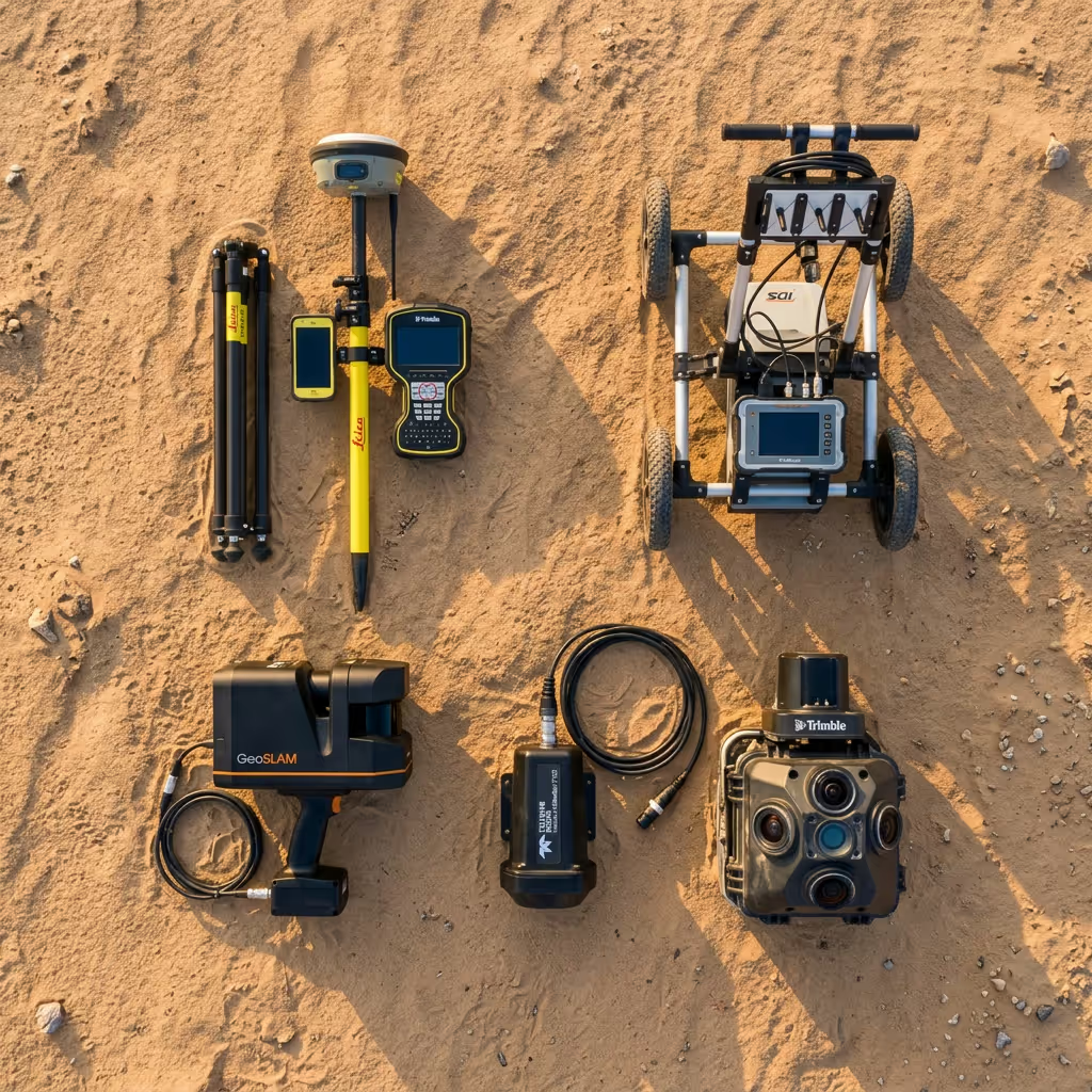
Technical Capabilities
Mobile Mapping

Vehicle-mounted LiDAR and imaging capture roads, infrastructure corridors, and built environments at scale — point clouds, 360° imagery, and asset inventory in one mobilisation.
Ground Penetrading Radar
Non-destructive detection of buried utilities, subsurface voids, and concrete structures. Output integrates directly into GIS and CAD for UAE municipality submissions.
Bathymetric & Marine Survey
Multibeam sonar maps seabeds, harbours, and coastal zones with sub-decimetre accuracy — bathymetric DEMs, hydrographic charts, and GIS layers to port authority standards.
Handheld LiDAR & 3D Laser Scanning

SLAM-based handheld scanners capture tunnels, interiors, and confined zones — with the same accuracy and coordinate format as the rest of the project dataset.


.svg)
.webp)