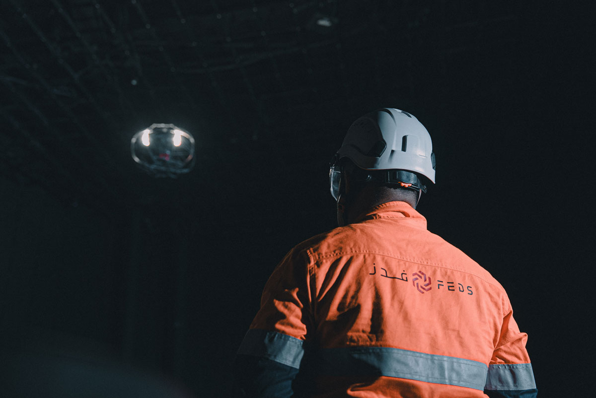
Inspect Any Confined Space. No Entry Required.
Traditional confined space inspections in Dubai and Abu Dhabi shut down assets for days, expose workers to hazardous atmospheres, and consume significant budget before a single data point is captured. FEDS deploys caged indoor inspection drones into boilers, tanks, tunnels, silos, and more — delivering high-resolution visual, thermal, and 3D mapping data from every internal surface, with no human entry required.


.webp)


.webp)


Why Traditional Survey Methods Can’t Keep Up
Entry permits delay inspection by days

Asset must shut down before any entry

Scaffolding and rope access costs are excessive
Workers face toxic gas and fall risk
Curved walls and tight spaces get missed
Fragmented photos slow maintenance decisions
UAE regulations require rescue standby teams
No baseline data makes condition monitoring impossible
Caged indoor drones deploy through a standard access hatch and are airborne within minutes. No entry permits to process, no scaffolding to erect, no rescue standby teams to mobilise. A typical tank or boiler inspection flight is completed within hours — reducing shutdown windows significantly and returning assets to service faster than any traditional method.
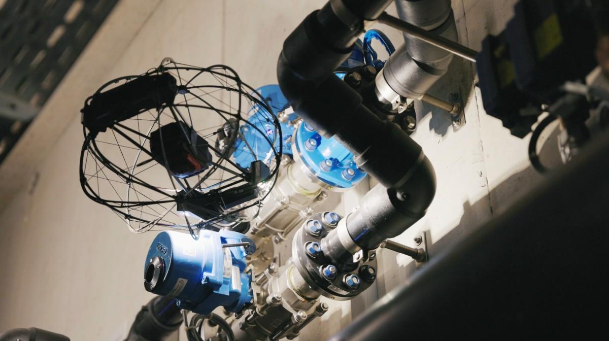
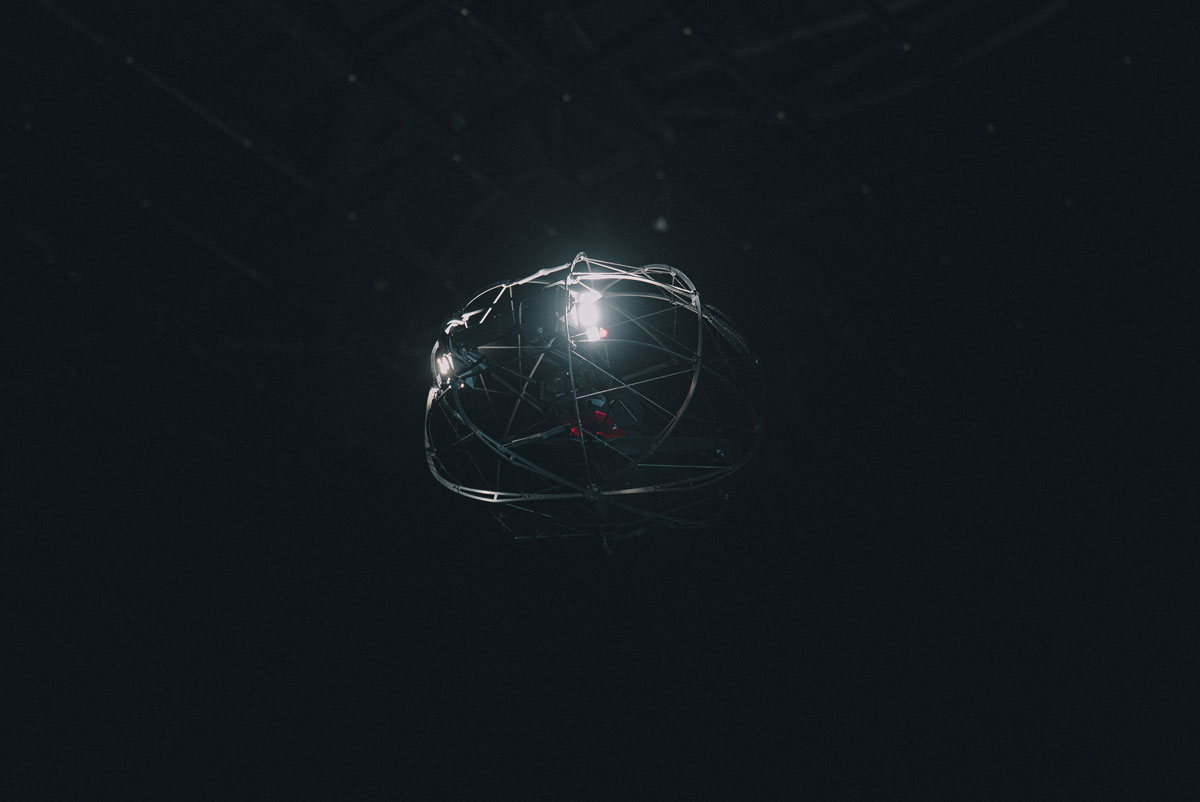
The safest confined space inspection eliminates human entry entirely. FEDS indoor drones navigate GPS-denied environments with full collision tolerance, capturing 4K visual and thermal data across surfaces that rope access teams routinely miss. Onboard gas detection sensors continuously monitor the atmosphere throughout each flight — adding a layer of safety data that traditional entry methods simply don't capture.
Every FEDS indoor inspection produces geo-located, 3D-mapped findings — not a folder of disconnected photos. Defects are annotated directly on a point cloud model of your asset, with measurements and location tags attached. Your engineering team receives a structured, digital inspection report faster than any scaffolding-based alternative can be mobilised.
Inspection Capabilities
LiDAR Mapping & 3D Point Clouds
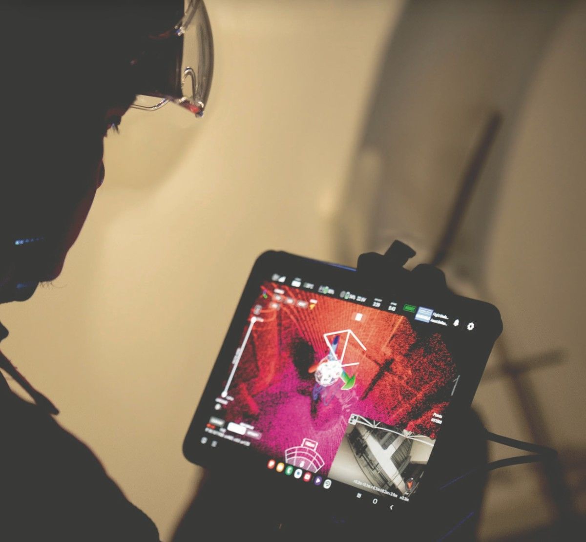
Integrated LiDAR sensors build centimetre-accurate, real-time 3D maps as the drone flies — no GPS required. The output is a navigable point cloud your team can use for dimensional analysis, volume measurement, and defect tracking across inspection cycles.
4K Visual & Thermal Imaging

4K cameras with integrated thermal sensors and high-output oblique lighting reveal corrosion, cracking, weld defects, and heat anomalies in complete darkness. Engineered specifically for low-visibility industrial environments where standard cameras fail.
GPS-Denied Navigation & Collision Tolerance
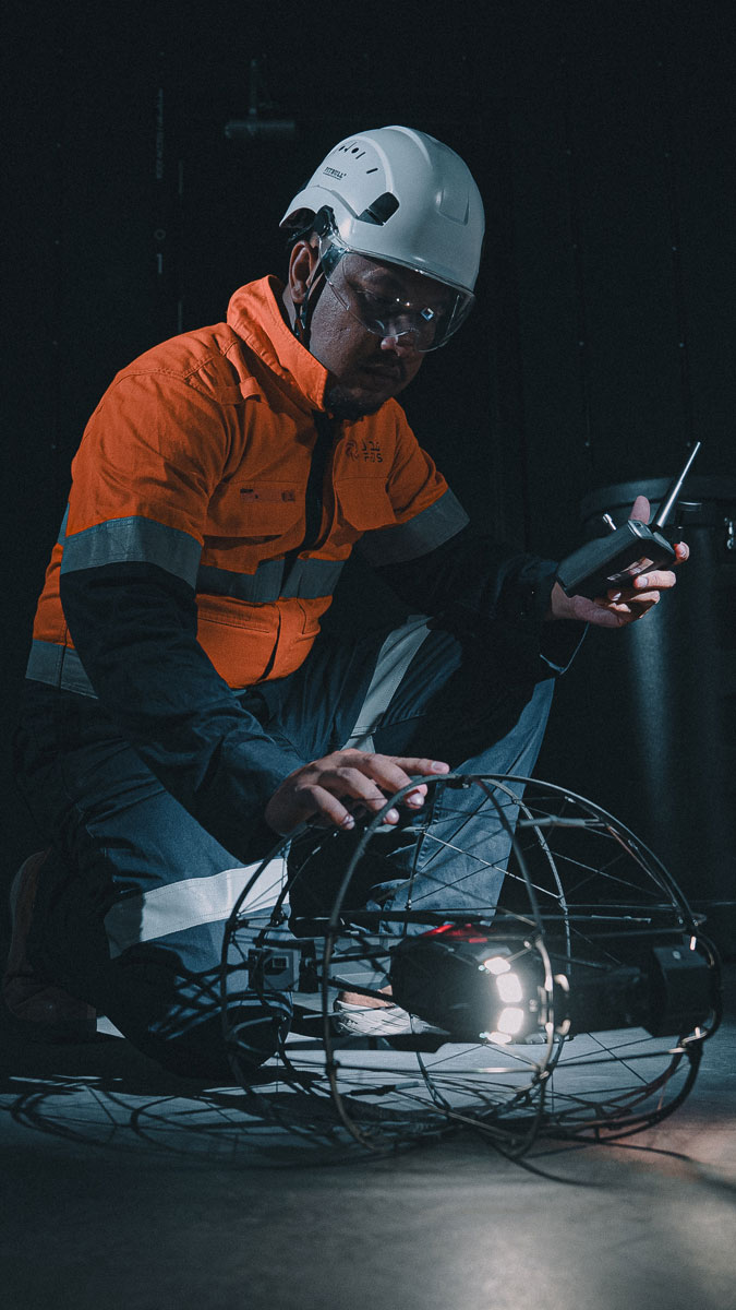
Visual-inertial odometry, radar, and LiDAR-based stabilisation allow confident navigation inside metal tanks, tunnels, and pipe arrays where GPS fails entirely. Collision-tolerant cage designs protect the drone — and the asset — in tight, complex environments.
Security
and Compliance
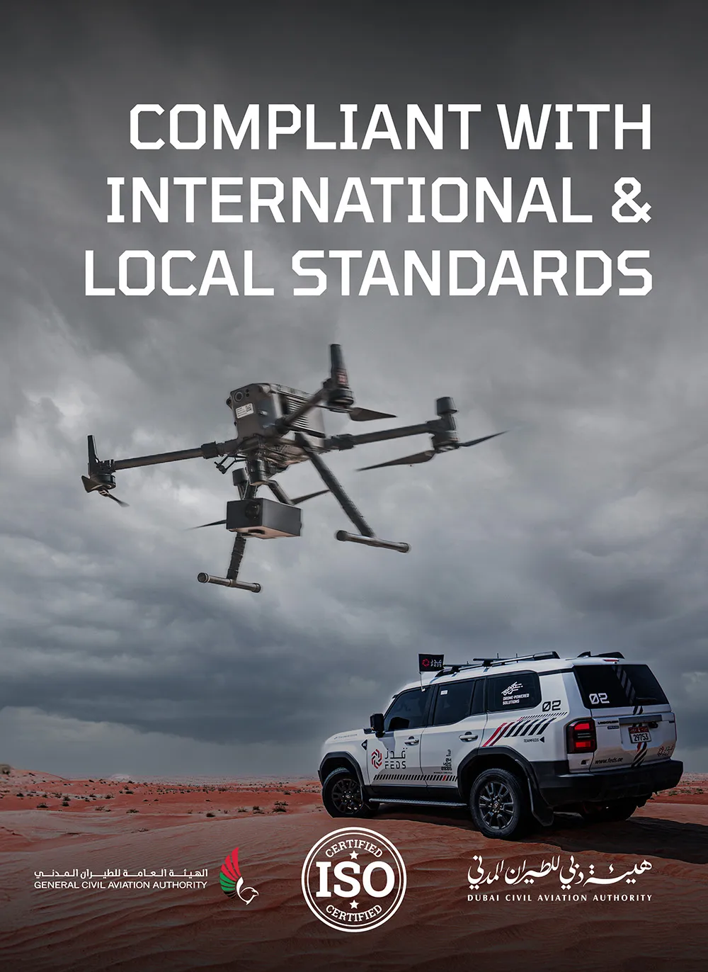
Aligned with UAE aviation and municipal regulations, FEDS is an ISO 21384-3:2023, ISO 9001, ISO 14001, ISO 45001 and ISO 27001 certified entity.

.webp)
.webp)


.svg)
.webp)