
LAST UPDATED
February 23, 2026
READING TIME
10
Min

The UAE's infrastructure ambitions are well documented. From mega road expansions across Dubai and Abu Dhabi to large-scale real estate developments and industrial projects, the pace of construction in this region is relentless. Yet, for all this momentum, many projects still lose weeks, sometimes months, before a single piece of equipment moves on site.
The bottleneck is often the survey stage.
Traditional surveying methods; ground crews, manual measurements, and manned aircraft were designed for a different era. They are slow to mobilise, expensive to run at scale, and produce data that takes days or weeks to process into something a project team can actually use. In a market where time is money and project deadlines are fixed, that delay has a real cost.
Drone surveying has changed that equation. This article breaks down exactly how and why it matters for infrastructure projects operating in the UAE's environment specifically.
To understand the improvement, it helps to understand what the old process actually involves.
.png)
Ground-based surveying for large infrastructure sites requires significant crew mobilisation, multiple surveyors, specialist equipment, and access permits for sites that are often still under restricted use. In the UAE, where many large projects sit in areas requiring coordination with local authorities, the permitting process alone can add days to the start of work.
Once on site, progress is dictated by what a crew can physically cover on foot. For a large plot or linear infrastructure project like a road corridor, a pipeline route or a coastal development that means breaking the work into sections, making multiple visits, and managing the logistical complexity of keeping teams on schedule across a site that may span dozens of kilometres.
The data collection phase is just the beginning. Raw survey data still needs to be processed, quality-checked, and converted into usable outputs like topographic maps, volumetric measurements, 3D models all before it reaches the engineers and project managers who need it. With traditional workflows, that processing can take another week or more.
By the time a project team has survey data they can act on, weeks have passed. And if conditions on site change- which they do, constantly — the whole process may need to be repeated.
The core difference is not just speed; it is how the entire workflow is restructured.
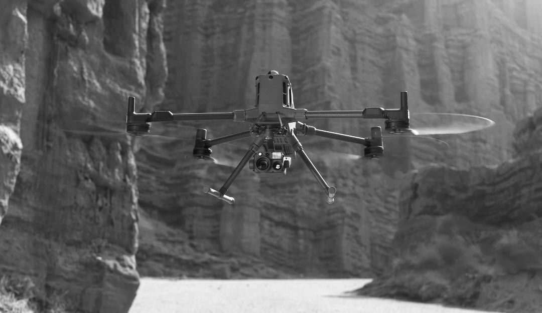
A drone survey mission can cover large and complex sites in a single day. A fixed-wing drone operating at altitude can map hundreds of sqkm in hours, capturing high-resolution imagery and point cloud data that would take a ground crew several weeks to collect manually. For construction sites, linear projects, or bridges, that difference in data capture time is immediate and significant.
The processing side has evolved at the same pace. Photogrammetry software now produces accurate orthomosaics, digital elevation models, and 3D terrain maps from drone imagery within 24 to 48 hours. The outputs that used to arrive a fortnight after fieldwork can now be in a project team's hands within two working days of the flight.
.png)
There is also a compounding benefit for projects that run over months. With traditional surveys, re-surveying a site to track progress or update data means remobilising a full ground crew, another week of downtime. With drones, repeat flyovers are operationally lightweight. The same mission profile can be run monthly, weekly, or even more frequently if the project demands it, giving project managers accurate, up-to-date site data throughout the construction lifecycle rather than just at the start.
That shift from a one-time survey to a continuous stream of aerial data is where drone surveying moves from being a faster version of the old way to being a fundamentally different tool for project oversight.
Operating drones is not as straightforward as simply launching a mission. There are a plethora of permits, NOCs, authorities, paperwork and even more paperwork before a drone team can be dispatched.
For project owners, this means the choice of drone survey provider matters as much as the technology itself. A provider without established relationships with the relevant authorities, or without experience navigating local regulations, creates its own set of delays the kind that negate the speed advantage entirely.

FEDS operates across the UAE and Saudi Arabia with the necessary approvals and regulatory experience already in place. That means projects do not start with weeks of administrative back-and-forth; they start with a flight plan.
The scale of active development in the region also makes this particularly relevant right now. Infrastructure projects in the UAE are not slowing down. Road expansions, urban master plans, utility corridors, and other projects are all active simultaneously, and the project teams running them are under real schedule pressure. The survey phase is one of the few areas where significant time can be recovered without compromising quality, and in the UAE's current development climate, that is a meaningful operational advantage.
The numbers that make this concrete: drone surveys typically run 75 to 80 percent faster than equivalent ground-based surveys. For a project where traditional surveying would consume six to eight weeks, that translates to one to two weeks of actual fieldwork and processing time with comparable or superior data accuracy.
FEDS recently completed aerial mapping and data collection across 1,100 km² of agricultural land — a scale that illustrates what drone operations can handle when the project demands it. The same principles apply to infrastructure: whether it is a 10-hectare construction site or a 50-kilometre road corridor, the workflow scales without proportionally scaling the cost or the time.
For construction monitoring specifically, the value extends beyond the initial survey. Regular drone overflights allow project managers to track earthworks progress, monitor material stockpile volumes, identify deviations from the design model, and document site conditions over time. That level of visibility, delivered consistently and at relatively low operational cost, changes how teams manage and report on project progress.
The survey phase is not where most project owners focus their optimisation efforts, but it is often where the most recoverable time sits. By the time a project reaches construction, the schedule has already been compressed by weeks of data collection and processing that did not need to take that long.
If you have an infrastructure project in the planning or early execution phase, particularly one involving large sites, complex terrain, or ongoing construction monitoring needs, it is worth understanding what a drone survey approach would look like in practice.
The FEDS team works with project owners, developers, and government clients across the UAE and Saudi Arabia to deliver aerial survey data on timelines that fit real project schedules. Reach out to discuss what your project needs.


.webp)