
LAST UPDATED
December 17, 2025
READING TIME
10
Min
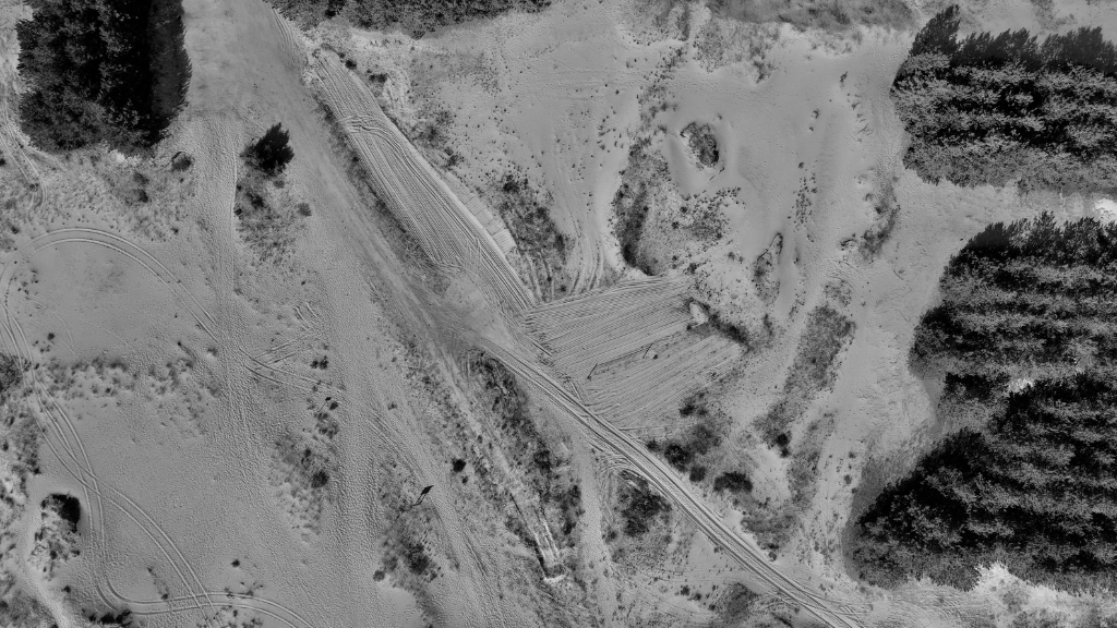
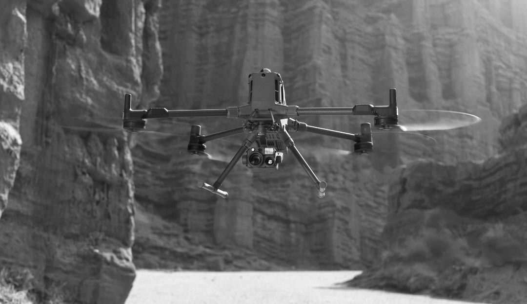
Accurate land mapping is critical for construction, surveying, agriculture, and infrastructure projects. Traditional methods, relying on manual surveys or satellite imagery, can be time-consuming, costly, and prone to errors. At FEDS Drone-powered Solutions, we have seen how unmanned aerial vehicles (UAVs) transform this process. By combining precision surveying technology with aerial intelligence , drones dramatically improve mapping accuracy, reducing human error and providing detailed, actionable data in a fraction of the time.
Drones equipped with advanced sensors, high-resolution cameras, and GPS technology significantly improve drone mapping accuracy, outperforming traditional surveying techniques and delivering reliable, actionable data. Unlike manual methods, UAVs capture thousands of Point clouds across challenging terrain in hours rather than days. This level of detail ensures:
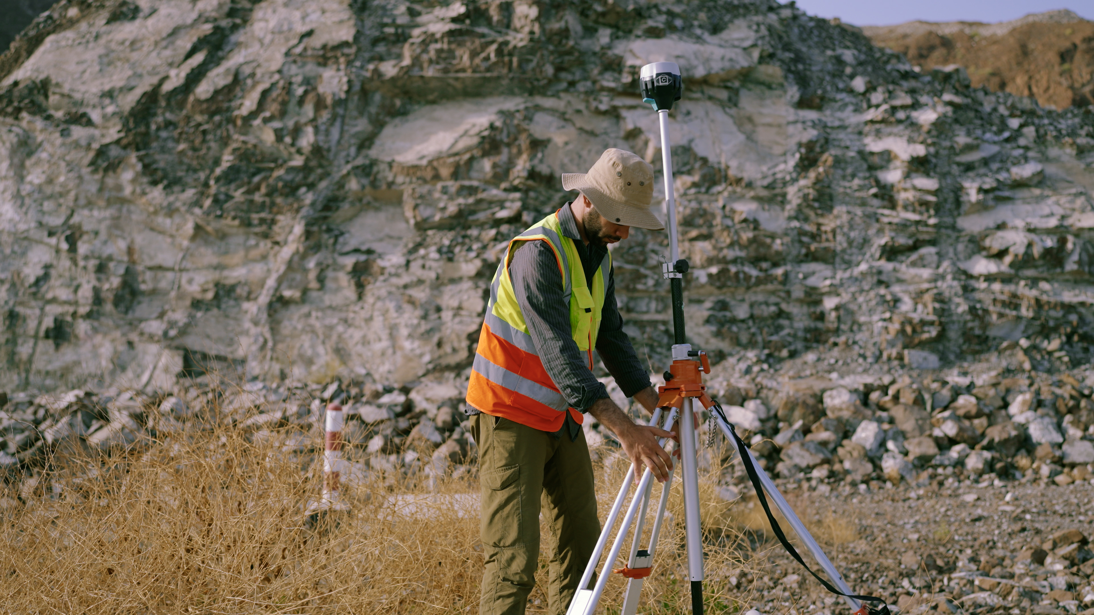
Our team delivers aerial surveys to capture high-resolution terrain data quickly and safely, and provides mapping services to process, analyse, and transform this data into GIS-ready outputs. Each service can operate independently or together, ensuring centimetre-level accuracy and actionable insights for every project. Find out more about our surveying and mapping expertise here.

Beyond accuracy, drones significantly reduce project timelines. Manual surveying methods often involve large teams on-site, navigating complex or hazardous terrain. UAVs, however, streamline the process by:
For example, in agricultural mapping, drones can survey extensive farmland in a single flight, identifying elevation changes, irrigation patterns, and crop growth variability with high precision. In construction, UAVs reduce repeated site visits, ensuring project milestones are met without compromising data quality.

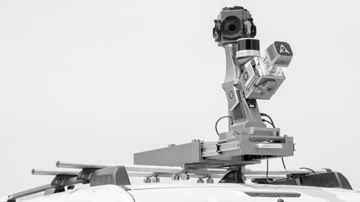
At FEDS, we combine drone technology with complementary tools to maximise accuracy. For example, pairing UAVs with UAV inspection sensors or ground-based GPS enhances georeferencing, allowing for highly detailed 3D models. These models help professionals:
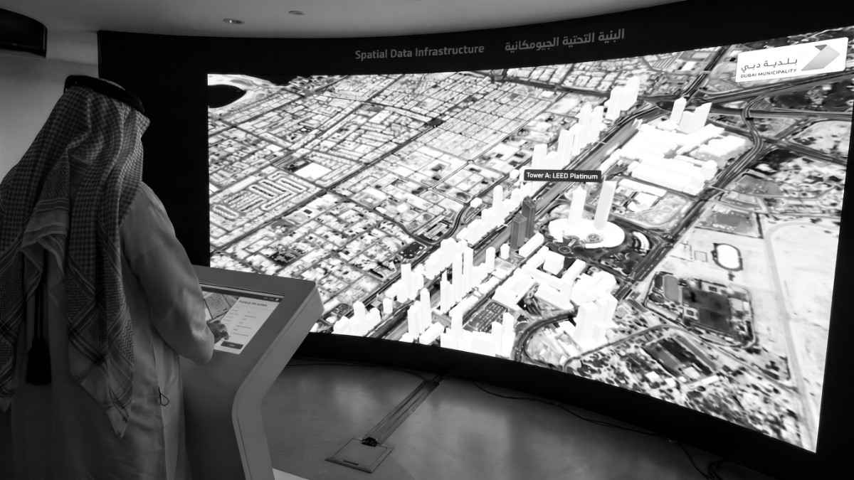
By integrating UAVs into standard surveying workflows, teams gain a single source of truth for mapping data, reducing inconsistencies and improving collaboration across project stakeholders.
The practical advantages of UAV land mapping are tangible for businesses across industries:
By focusing on these benefits, FEDS demonstrates that UAV technology is not just innovative. It is a practical, measurable solution for complex land mapping challenges.
How accurate are UAV drones for land mapping?
Modern drones equipped with GPS and high-resolution sensors can achieve centimetre-level accuracy, often up to 5 centimetres (Colomina & Molina, 2014; ISPRS Annals, 2024). This precision allows professionals to rely on UAV data for topographic surveys, construction planning, and land assessments without costly resurveys.
Can drones map large areas efficiently?
Yes. UAVs can cover extensive land areas in a fraction of the time required by traditional surveys. Some of the advanced aerial platforms are capable of mapping up to 700 hectares in a single 90-minute flight under optimal conditions, drastically condensing project timelines. Numerous documented projects show drone surveys reducing fieldwork from days or weeks to a few days or just hours. This efficiency saves labour costs while delivering accurate, consistent data (Heliguy, 2023).
How do UAVs compare to traditional surveying methods?
Drones reduce human error, speed up data collection, and provide high-resolution visual data. Traditional methods often require larger teams, more time, and may miss subtle terrain variations, particularly across large or complex sites (FlyEye, 2023).
Are UAV mapping results compatible with other surveying tools?
Absolutely. UAV data (point clouds, orthomosaics, DEMs) integrates seamlessly with GPS, GIS software, and inspection sensors. Survey-quality drone outputs are routinely used alongside GNSS, total-station, or LiDAR data for engineering, cadastral, and GIS deliverables (ISPRS Archives, 2023).
Can UAV drones operate in extreme weather or challenging terrain?
Yes. Modern UAV drones are often rated IP55 or higher. IP55 is an international protection rating that means the drone is resistant to dust and rain. As a result, drones can operate safely in challenging weather and when surveying difficult or hazardous terrain — including steep slopes, desert environments, or waterlogged sites. Advanced sensors and careful flight planning ensure accurate data capture while reducing risk to personnel (FlyEye, 2023).
UAV drones are transforming the way professionals approach land mapping. They deliver precise, timely, and cost-effective data that supports confident decision-making across construction, surveying, agriculture, and infrastructure projects. At FEDS, our expertise in UAV land mapping ensures that clients achieve accuracy without compromise.
At FEDS, we specialise in applying these technologies to real-world challenges, from construction to agriculture. Contact us to explore how our drone solutions can benefit your business.


.webp)