
LAST UPDATED
November 26, 2025
READING TIME
10
Min
As construction professionals who used old school inspection methods can testify, aerial photogrammetry is very good news for monitoring teams. It marks the end of time-consuming, costly techniques that were prone to human error. It also means no more repetitive ground surveys, delayed reporting, and safety risks for personnel.
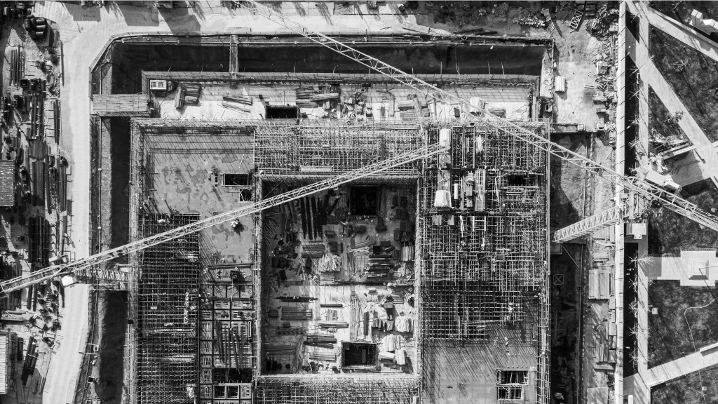
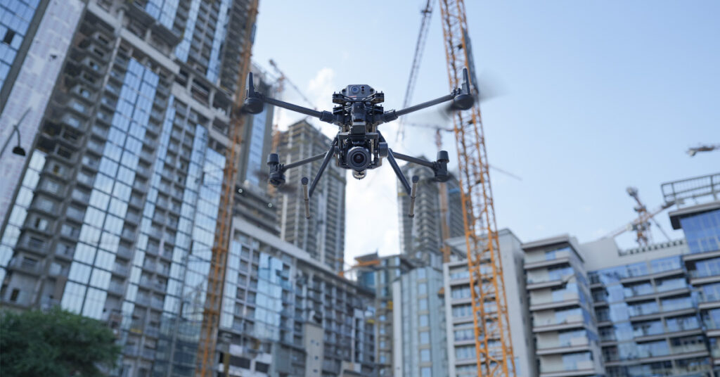
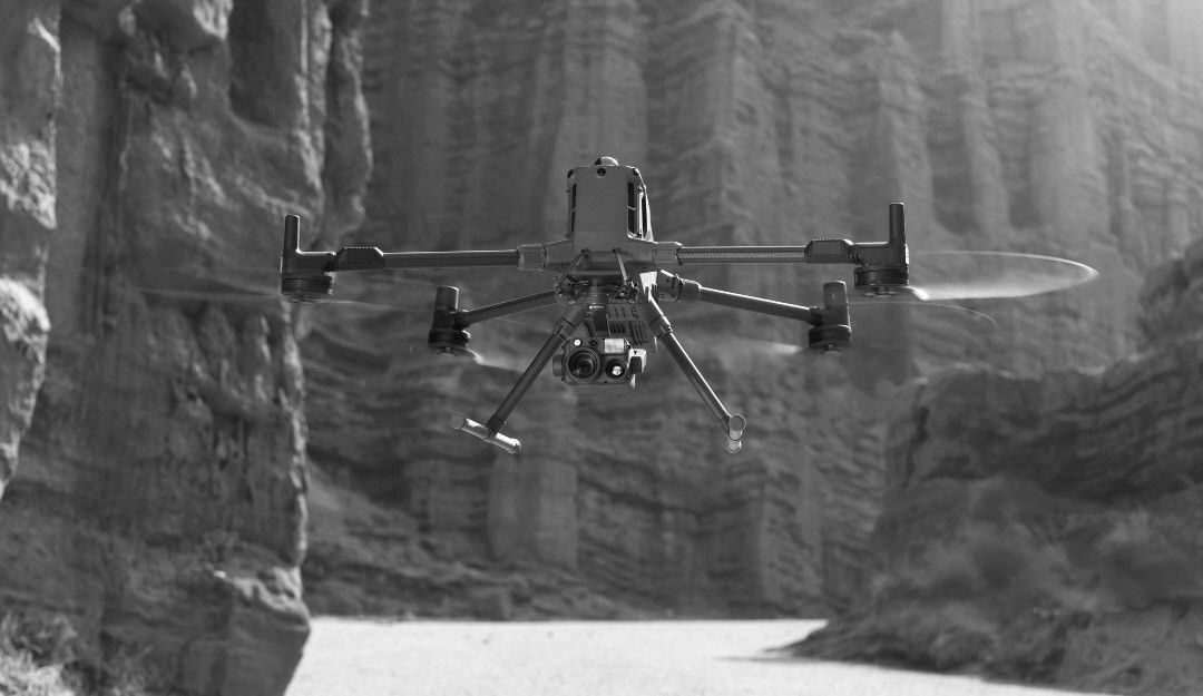
With drone-powered photogrammetry, monitoring teams can capture high-resolution images quickly and process them into accurate 3D models and maps at speed. This improves oversight, accelerates decision-making, reduces project delays, and enhances safety.
At FEDS, we have seen firsthand how these techniques transform construction site monitoring, providing precise, actionable data in hours rather than days. This post explores how aerial photogrammetry optimises site supervision, delivering measurable efficiency, safety, and cost benefits.
Traditional monitoring methods, such as manual surveys or helicopter inspections, present several challenges:
In contrast, aerial drone photogrammetry overcomes these issues, providing accurate, repeatable data with reduced risk and cost. Drone aerial photography enables rapid site capture, while UAV inspection technology ensures high precision and safety.
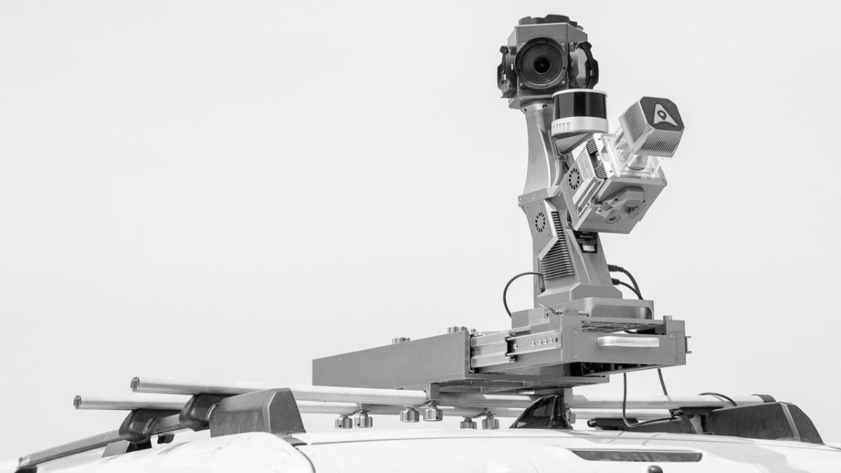
Aerial photogrammetry involves capturing overlapping images from a drone, which are then processed into 2D maps or 3D models using specialised software. Key advantages include:

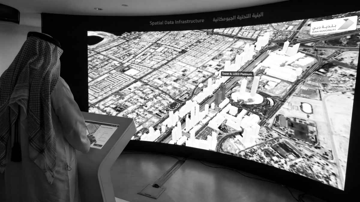
Aerial photogrammetry provides detailed, up-to-date 3D models of your site. Project managers can:
This leads to more informed decision-making, reduced rework, and fewer delays. See Aerial Surveys & Mapping for FEDS’ end-to-end solutions.
By removing personnel from high-risk areas, drones reduce accidents. Surveyors no longer need to navigate unstable terrain, tall structures, or confined spaces. Real-time drone data allows teams to plan interventions safely.
Aerial surveys reduce labour and equipment costs. On UAE construction projects, we have seen drone surveys reduce data collection times very significantly, driving high labour and equipment cost savings.
High-resolution drone imagery supports precise volume calculations, earthworks monitoring, and compliance checks. Accurate data ensures material ordering, scheduling, and budget forecasting are optimised.
Drone-derived models integrate with project management and BIM software, enabling stakeholders to compare planned versus actual progress efficiently. This improves reporting and accountability across teams. Explore our Construction Monitoring services for more.
We have deployed drones for aerial photogrammetry surveys at multiple UAE construction and infrastructure sites. The results, verified through FEDS’ documented case studies, include:
These examples demonstrate how drone aerial photogrammetry delivers quantifiable improvements in efficiency, accuracy, and safety on construction sites, providing decision-makers with actionable, data-driven insights.

It’s the process of capturing overlapping images with a drone to produce accurate 2D maps and 3D models of a construction site.
Modern drones can achieve centimetre-level accuracy, comparable to conventional ground surveys but delivered faster and safer.
Yes. Regular surveys highlight deviations from designs, material inconsistencies, and potential safety hazards.
Frequency depends on project size and phase, but weekly or bi-weekly surveys are typical for large-scale construction projects.
Absolutely. All flights are conducted under UAE civil aviation rules, ensuring safety and legal compliance.
Aerial photogrammetry transforms construction site monitoring by combining speed, accuracy, safety, and cost savings. FEDS’ drone-powered solutions provide actionable insights that empower project managers to make informed decisions and deliver projects efficiently.
Aerial photogrammetry is no longer a nice-to-have. It’s becoming an essential tool for construction professionals who want faster, safer, and more accurate site monitoring. To explore how FEDS drones can deliver precise, actionable data for your next project, contact our team to discuss a tailored solution for your site.


.webp)