
LAST UPDATED
November 20, 2025
READING TIME
10
Min
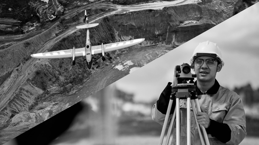
The short answer to this question is: UAV drone surveying – by a significant margin. While traditional surveying techniques remain accurate, they are resource-intensive, slow, and can pose safety risks. On the other hand, surveys carried out by Unmanned Aerial Vehicles (UAVs), or drones, offer a faster, safer, and cost-effective alternative.
UAV surveys capture detailed data from perspectives that would otherwise be inaccessible, supporting faster project decisions without compromising accuracy or safety. For decision-makers in construction, utilities, oil and gas, agriculture, and other sectors in the UAE, understanding how UAVs compare to traditional surveying is essential for optimising efficiency and reducing operational costs.
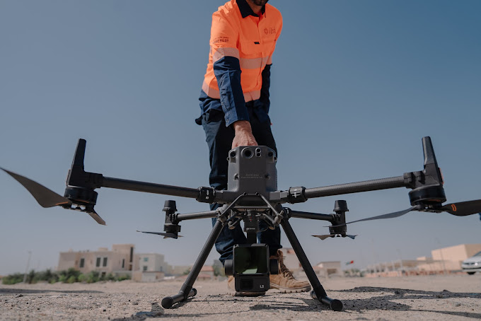
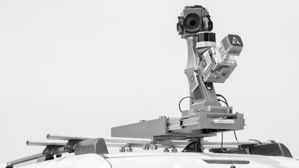
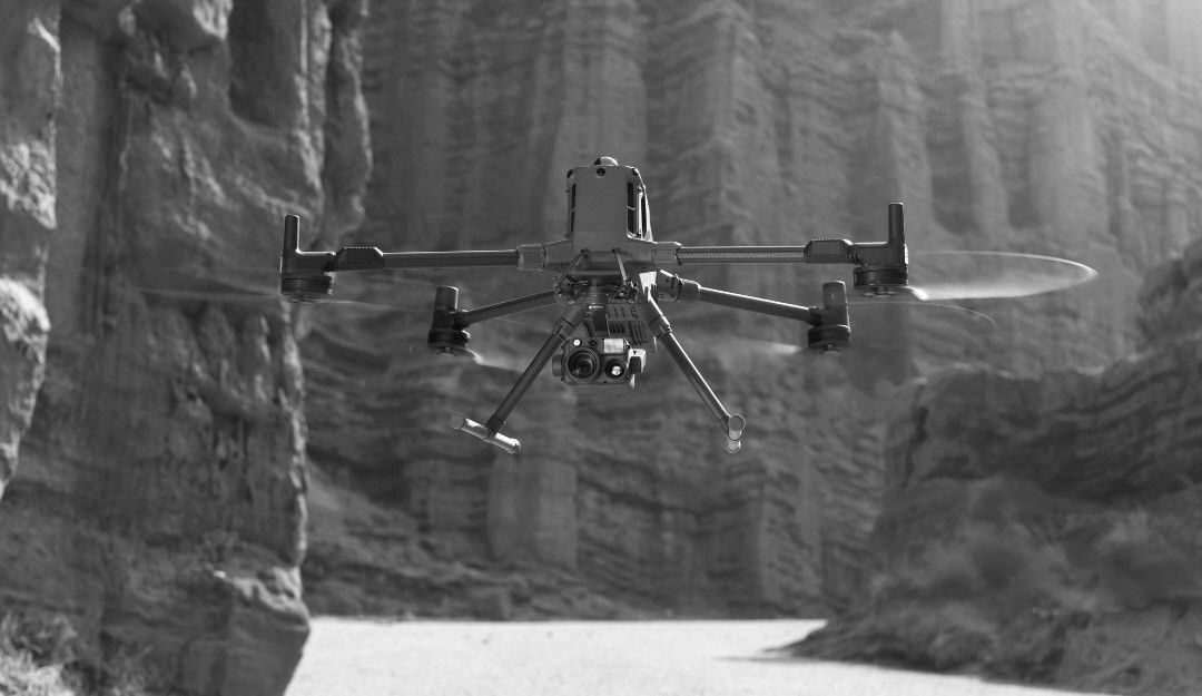
Traditional surveying requires meticulous preparation, manual measurement, and often large teams on-site. Terrain hazards, weather conditions, and tight schedules can slow progress and increase costs. UAVs, equipped with advanced cameras and sensors, can capture thousands of data points in hours instead of days or weeks.
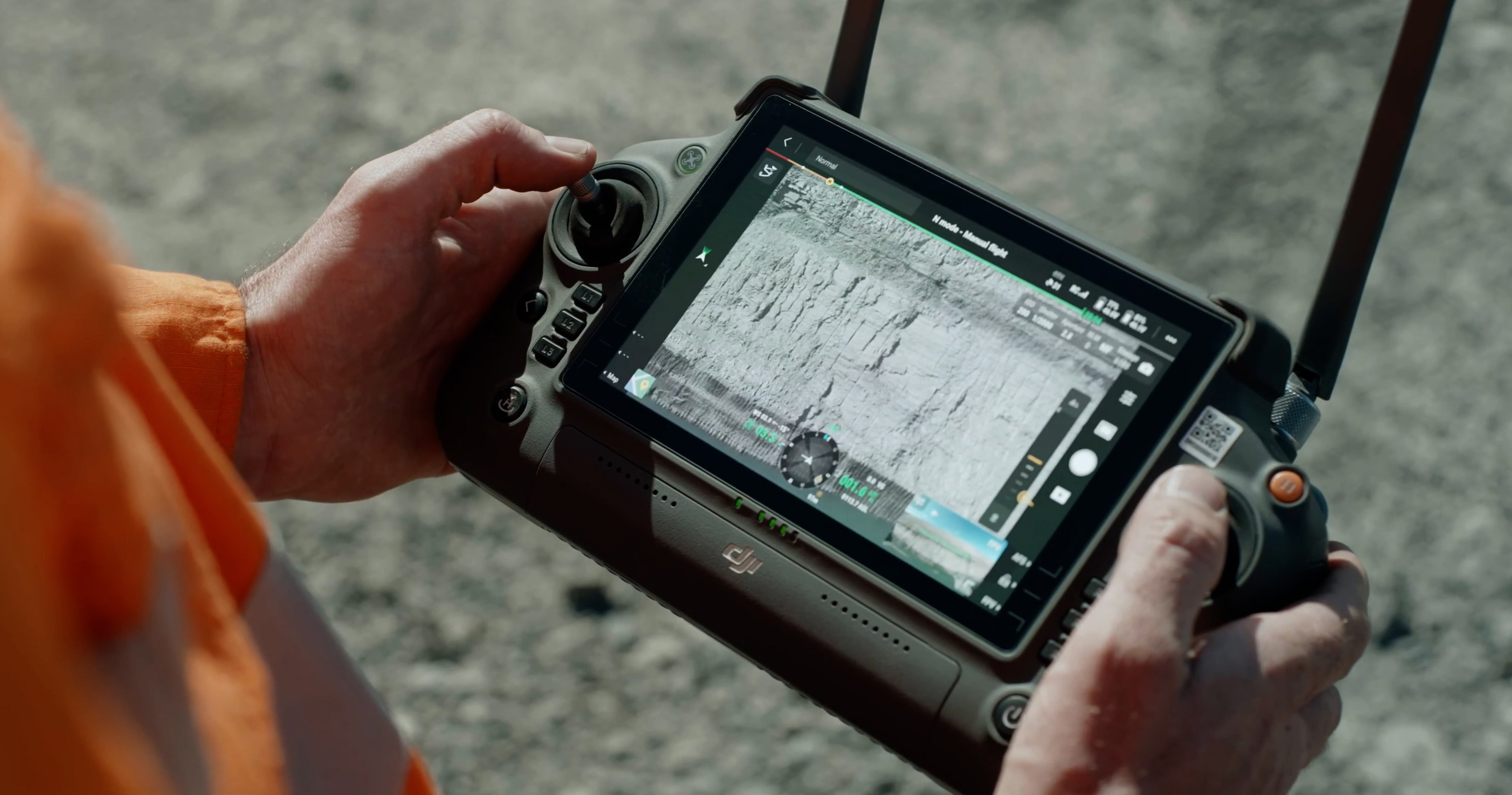
At a Ras Al Khaimah quarry, our team deployed drones to conduct a full-scale aerial survey. Key outcomes included:
This case study demonstrates how UAVs offer measurable benefits in efficiency, safety, and cost savings compared to traditional surveying. Read more about FEDS drone surveying.
Drones help map plots, establish boundaries, and assess land suitability before ground is broken. During construction, aerial surveys track site progress, monitor hazards, and conduct stock takes, all without disrupting ongoing work. UAVs also provide thermal and multispectral imaging to identify structural issues early, reducing rework costs.
Pipeline planning and inspection benefit from drones’ aerial reach. UAVs can map pipelines over difficult terrain, monitor construction progress, and identify areas restricted due to environmental or private land constraints. We deploy robust drone solutions to deliver precise and multi-faceted data required for pipeline inspection..
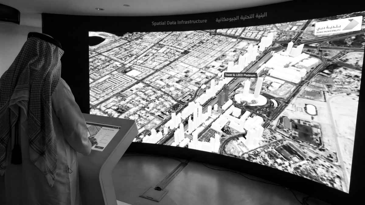
For road, bridge, and urban planning projects, UAVs provide spatially accurate data that reduces survey timelines from weeks to days while delivering better data quality. Using drones makes it quicker to produce DSMs, DTMs, and orthomaps, empowering smarter decision-making.
Open-pit mines are hazardous for surveyors. UAV surveys allow accurate mapping without risk to personnel. High-resolution aerial data is converted into 3D models, volumetric reports, and orthomosaics, enabling precise planning and monitoring of excavation progress.
Drone surveys provide non-invasive mapping of sensitive sites. UAVs generate 3D models and orthophotos, allowing researchers to analyse terrain, plan digs, and preserve site integrity without disrupting ongoing work. Watch this UAV survey of an archaeological site.
UAVs reduce survey time by up to 80%, lower labour costs, and improve safety, while delivering data that supports faster, more informed decision-making. Learn more about UAV inspections.
Drone surveys can achieve centimetre-level accuracy with high-resolution cameras and LiDAR, matching or exceeding traditional methods.
Yes, modern drones are equipped to handle steep slopes, uneven terrain, and moderate weather conditions, reducing safety risks for personnel.
Construction, oil and gas, infrastructure, mining, agriculture, and archaeology all benefit from the speed, safety, and precision of UAV surveys.
Survey data is processed quickly into 3D models, maps, and point clouds, allowing project managers to make informed decisions without waiting weeks for traditional survey results.
Yes, UAVs should be operated by certified pilots trained in flight safety and data capture. Many organisations use Drones-as-a-Service (DaaS) providers like FEDS to ensure compliance and accuracy.
UAV surveys are no longer optional. They are the standard for professionals seeking faster, safer, and more cost-effective ways to gather data.
If you’d like to know more about how FEDS drones can support your next project, from initial site surveys to ongoing monitoring, contact our team to discuss a tailored solution.


.webp)