
LAST UPDATED
July 7, 2026
READING TIME
10
Min
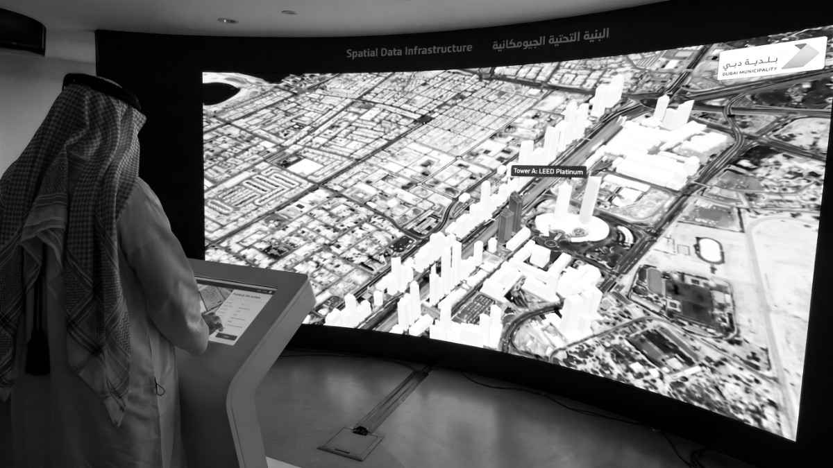
Last week, Sheikh Hamdan bin Mohammed bin Rashid Al Maktoum witnessed the launch of the Dubai Digital Twin Platform, a digital replica of the emirate built by Dubai Municipality. The platform brings together 3D models of more than 195,000 buildings, 330,000 public facilities and 280,000 infrastructure assets in a single place. It supports the D33 agenda, and it tells you a lot about where urban planning in this region is headed.
A digital twin is only as good as the reality it mirrors, and someone has to go out and measure that reality. That’s the part of the story we live every day at FEDS.
When people hear “digital twin”, they picture the platform. The 3D city model you can spin around on a screen, the dashboards, the AI running simulations on top. What they rarely think about is where those 195,000 building models came from, or what it will take to keep them accurate while the city keeps changing.
Every asset in a twin starts as a measurement. Millions of aerial images stitched together through photogrammetry. A sonar scan of a canal or harbour bed. A laser scan of a facade, a tunnel or a substation. The platform is the destination. Survey work is the pipeline that feeds it, and any city, developer or asset owner planning to build their own twin needs that pipeline in place before anything else.
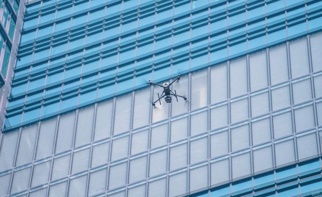
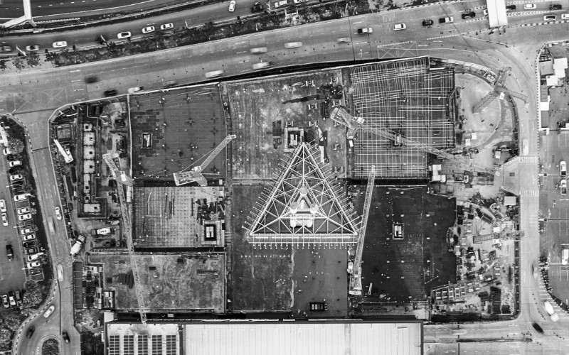
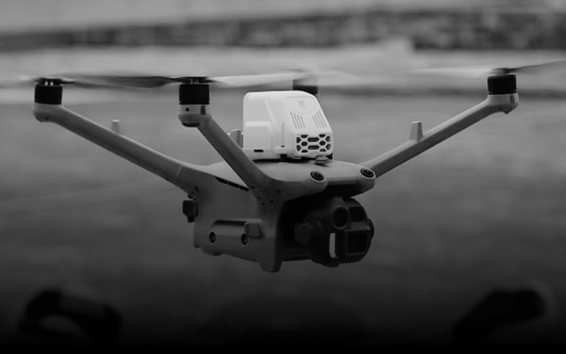
Before a city can be modelled, it has to be seen from above. Our drone surveying and mapping teams capture districts, coastlines and construction sites in a fraction of the time ground methods take. Photogrammetry and drone-mounted LiDAR produce orthomosaics, 3D models, DSMs and topographic maps at centimetre-level accuracy. This is the layer where rooftops, terrain and facades enter the twin. And since a twin is only useful while it’s current, repeat flights are what keep it alive, tracking construction progress and picking up change as the city grows.
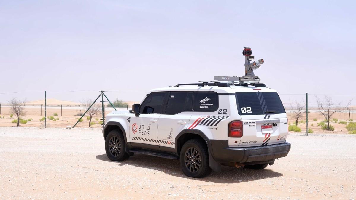
Dubai’s twin includes 280,000 infrastructure assets. Roads, bridges, corridors, utilities. Capturing the built environment at that scale is not a job for a total station and a field crew walking the kerb line. It’s a job for mobile mapping.
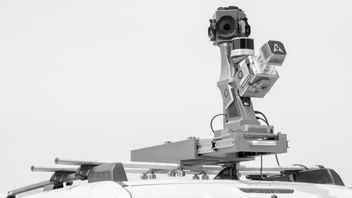
We use vehicle-mounted LiDAR and imaging systems to capture entire road networks and corridors in a single mobilisation. Dense point clouds, 360° imagery and complete asset inventories, all co-registered and ready for GIS. Work that used to take months of piecemeal surveying now happens at traffic speed. For any organisation feeding a digital twin, whether that’s a municipality, a master developer or a utility, mobile mapping is the fastest way to turn kilometres of physical city into structured digital assets.
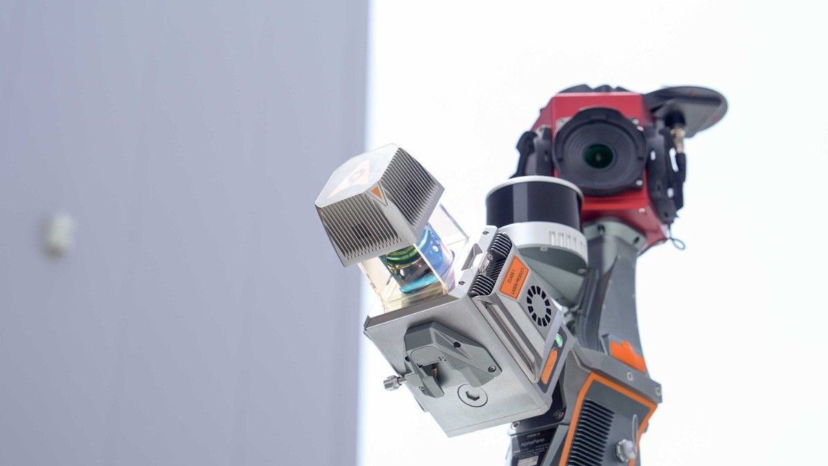
Those 195,000 building models begin as raw survey data. Before anything becomes a 3D model, someone has to capture those measurements and point clouds in the field. This is where LiDAR comes in.
We deploy it on whatever platform the job demands. Drone-mounted sensors for large-area topographic work, vehicle-mounted systems for corridors, and SLAM-based handheld scanners for the places nothing else can reach, like tunnels, basements, MEP voids and confined interiors. The result is one consistent dataset covering everything from skyline to sub-basement, delivered in the formats these platforms actually consume: point clouds, 3D models, DSMs and CAD, GIS and BIM ready outputs. A twin that stops at the building envelope is just a pretty shell. LiDAR is how you model what’s really there.
Dubai doesn’t end where the water begins. Ports, marinas, coastal developments, outfalls and man-made islands make up a major share of the emirate’s most valuable infrastructure, yet they are often left out of digital twin conversations. Our bathymetric and marine survey teams use multi-beam sonar to map seabeds, harbours and coastal zones with sub-decimetre accuracy, producing bathymetric DEMs, hydrographic charts and GIS layers built to port authority standards. We’re one of the few teams in the region that can deliver land and marine data as a single dataset.
At the launch, Sheikh Hamdan said leadership will belong to cities that build integrated digital ecosystems and embrace AI, in collaboration with the private sector. We read that as a call to action. Twins don’t maintain themselves. They need continuous, accurate capture from multiple sources to stay alive, and that applies to every developer, port operator and government entity managing assets of their own, not just to Dubai.
So if the launch has you wondering what a digital twin of your project, corridor or coastline would take, we should talk. From the sky, the street or under the water, we capture the reality your digital future gets built on.
Get in touch with our team for a project proposal.



.webp)
