
LAST UPDATED
August 20, 2026
READING TIME
10
Min
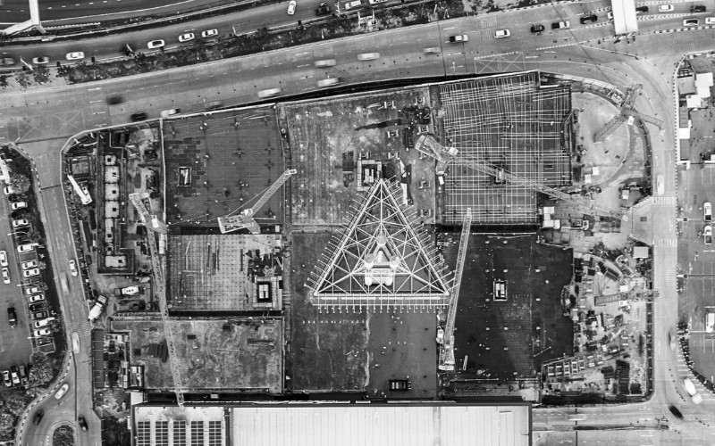
Progress reporting on most sites still runs on estimates. Someone walks the site, forms a view, and enters a percentage. It is quick, and it is only as good as one person's judgement on the day. A monthly drone overlay replaces that estimate with measurement: a drone captures the whole site, the imagery becomes a survey-grade 3D record, and that record is laid over your planned programme.
Variance stops being a matter of opinion and becomes a figure you can point to. In this article, we explain how monthly overlays work, the accuracy you can rely on, and how the method fits the practical realities of building in the UAE.
Comparing built progress against programme means measuring what has physically been constructed and checking it against what your schedule said should exist by that date. Rather than relying on a percentage estimate from the site team, you use a measured 3D record of the site to confirm actual status, area by area and level by level.
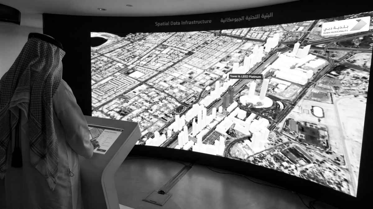
The two halves of the comparison have names worth being precise about. Your programme, modelled in tools such as Primavera P6 or a 4D BIM environment, is the as-planned state: what should be built and when. The drone survey produces the as-built state: what is actually there on the day of capture. Put one on top of the other and variance stops being assumptions, turning data into insights. You can see the block that is a level behind, the earthworks that are ahead, and the podium slab that was reported complete but is still missing two pours.
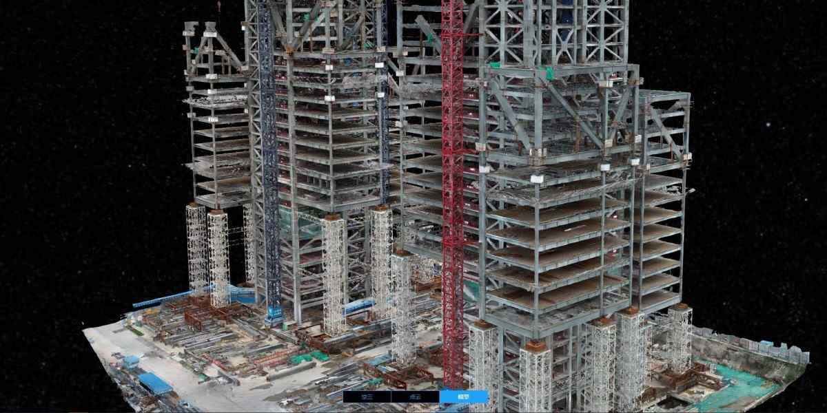
A monthly overlay is a repeatable four-step process. The drone captures the site, the imagery is turned into a measured 3D model, that model is aligned to your programme, and the differences are reported. Each month uses the same flight plan and the same control, so every survey is directly comparable to the last.
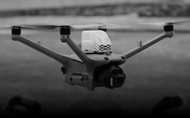
1. Capture. A drone (UAV) flies a pre-planned grid over the site, photographing it from consistent angles and heights. A large site is usually covered in a single visit.
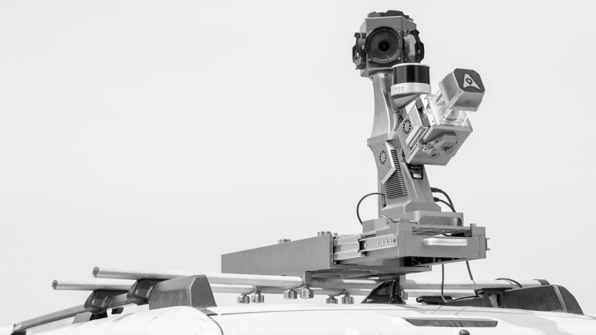
2. Ground control. Surveyed ground control points are placed and measured so the model sits in real-world coordinates rather than relative space.
3. Processing. Photogrammetry software stitches the images into an orthomosaic and a dense point cloud, a measurable 3D record of the site surface.
4. Overlay and reporting. The point cloud is registered against the as-planned model. Variance is quantified, annotated, and issued as a report the project team can act on.
With surveyed ground control and RTK or PPK positioning, drone photogrammetry typically achieves 1 to 3cm accuracy in both plan and height, which is sufficient for construction progress work and volumetric measurement. Without ground control, accuracy often drops to 5-10cm or more as GPS error creeps in.
That distinction matters when the overlay is feeding a payment discussion. Accuracy at the centimetre level lets you stand behind a variance figure; accuracy at the ten-centimetre level creates confusion. A few conditions reduce reliability and are worth planning around: highly reflective surfaces, standing water, deep shadow, and freshly poured concrete with little surface texture. A capable drone survey team designs the flight and control to work with these.
Commercial drone work in the UAE operates within a clear framework, and the practical route to reliable data is working with a provider who already holds the right approvals. The General Civil Aviation Authority (GCAA) requires commercial operators to hold a UAS Operator Certificate, fly with licensed remote pilots, register each aircraft, and carry third-party liability insurance. Operations in Dubai involve an additional No Objection Certificate from the Dubai Civil Aviation Authority (DCAA), typically submitted ahead of the planned flight window.
For a project owner, the point is straightforward. When your survey partner holds these approvals from day one, coordination with the relevant authorities is handled before mobilisation and does not sit on your critical path. That matters on the UAE's larger developments, where sites sit close to critical infrastructure, and where a monthly capture needs to slot into a busy programme without becoming a scheduling exercise of its own. At FEDS, holding this coordination in place is part of how we keep a monthly cadence dependable across a project's life.
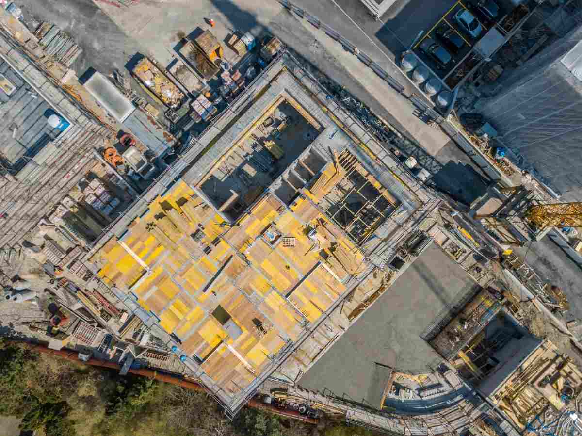
How often should drone progress surveys be flown? Monthly suits most projects because it aligns with valuation and reporting cycles. Move to fortnightly or weekly during critical earthworks and superstructure phases, where tighter tracking protects the programme.
Can drone overlays integrate with BIM and Primavera P6? Yes. The as-built point cloud is registered against a 4D BIM model or linked to programme activities, so variance can be read against specific schedule lines rather than the site as a whole.
Are drone progress surveys accurate enough for payment claims? With ground control and RTK or PPK positioning, surveys reach 1 to 3cm accuracy, which supports volumetric and progress measurement robust enough to underpin a claim discussion.
Do you need approval to fly over a construction site in the UAE? Commercial drone operations require GCAA approvals, and flights in Dubai involve a DCAA No Objection Certificate. A provider holding these in advance folds the coordination into mobilisation rather than your programme.
A programme is only as useful as your confidence in the progress figures behind it. Monthly drone overlays replace estimated percentages with a measured, dated record you can put in front of any stakeholder and defend. Start with one capture over your current site and compare it against this month's programme; the first variance you catch usually pays for the exercise.
To see how monthly progress overlays would work on your project, talk to our team about a capture plan that works for you.



.webp)
