
LAST UPDATED
February 18, 2026
READING TIME
10
Min
Accurate drone mapping underpins smarter, faster, and safer decision-making across a growing range of industries where projects rely on accurate site data. Yet traditional surveying can be slow, costly, and prone to errors.
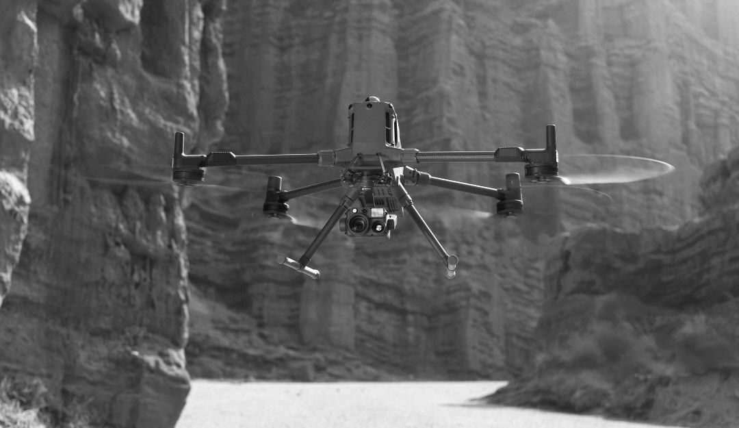
Aerial photogrammetry offers a smarter solution. By capturing high-resolution images with drones and converting them into precise 2D maps or 3D models, decision-makers gain fast, reliable insights. In many cases, drone photogrammetry can cut survey time by up to 80–85% while improving accuracy, safety, and cost efficiency (Pix4D, DroneDeploy).
In this article, we explain what aerial photogrammetry is, the methods and tools it uses, and the tangible benefits it provides for businesses in the UAE and beyond.
Photogrammetry is the science of measuring and mapping physical spaces using overlapping photographs. When combined with drone photography, it allows surveyors and project managers to create precise 2D and 3D representations of sites, buildings, and infrastructure.
Key advantages include:
● High accuracy: Modern drones achieve centimetre-level precision with ground control points (Pix4D, DroneDeploy).
● Speed: Large areas can be surveyed in hours rather than days.
● Safety: Surveyors avoid dangerous or inaccessible areas.
● Repeatability: Projects can be monitored regularly to track progress over time.
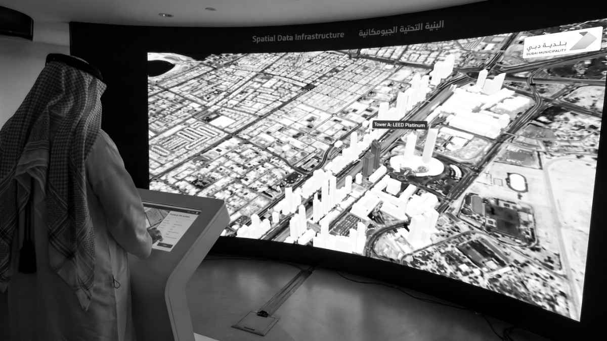
At FEDS, our team integrates drone-captured imagery into drone land survey workflows and GIS, CAD, and BIM platforms, providing actionable data that supports smarter decisions across a wide range of industries.
There are several methods used in drone photogrammetry, depending on project goals:
Drones fly pre-planned routes to capture overlapping images of large areas. Software stitches these images together to create:
● Orthomosaic maps for site planning
● Elevation models for construction and civil works
● Volumetric calculations for stockpiles and earthworks
Physical markers placed on the ground improve geospatial accuracy. GCPs are essential for survey-grade data and ensure models align with real-world coordinates. Without them, errors can range from centimetres to metres (DroneDeploy).
This technique analyses overlapping images to reconstruct 3D geometry. SfM is widely used for infrastructure inspection, construction monitoring, and environmental surveys.
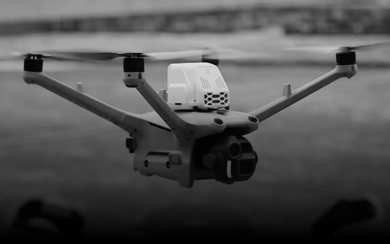
Some drones combine RGB cameras with LiDAR or multispectral sensors. This enhances precision, supports vegetation analysis, and allows volumetric and topographical studies with higher fidelity.
Drone photogrammetry delivers real, measurable benefits including:
● Efficiency: Surveys large sites up to 85% faster than traditional methods (Pix4D).
● Cost savings: Reduces labour, equipment, and rework costs. Studies show that 14% of construction rework is caused by poor data, costing billions globally (Autodesk/FMI).
● Safety: Avoids sending personnel into hazardous or difficult-to-access areas.
● Accuracy: Achieves centimetre-level measurements for earthworks, volumetrics, and infrastructure inspection (DroneDeploy, Pix4D).
● Monitor site progress and detect deviations early
● Track material volumes and earthworks
● Integrate surveys with BIM and project management tools
● Map large areas for crop monitoring and irrigation planning
● Use NDVI and multispectral imaging to assess plant health
● Optimise fertiliser and water usage
● Inspect pipelines, powerlines, and transport networks safely
● Generate digital twins for maintenance planning
● Monitor assets efficiently without disrupting operations
● Conduct volumetric calculations and topographical surveys
● Reduce survey time for stockpile and excavation management
By combining speed, precision, and safety, aerial photogrammetry allows organisations to make data-driven decisions faster and more confidently.
At FEDS, we provide end-to-end services, including Aerial Surveys & Mapping, to ensure clients across all sectors get precise, actionable insights.
At FEDS, accuracy isn’t just about drones or cameras. It’s about expertise:
● We carefully plan flight paths to maintain 70–80% image overlap.
● Our team implements GCPs where survey-grade precision is required.
● Advanced software ensures images are processed into reliable 2D and 3D outputs.
● Local knowledge of UAE conditions and regulatory frameworks ensures results are robust in any environment.
With over 15,000 missions flown across the Middle East, FEDS delivers consistent, repeatable, and actionable data that supports construction, surveying, agriculture, and utilities projects.
It’s the process of capturing overlapping images with drones and converting them into accurate 2D maps or 3D models.
With GCPs and proper workflow, drone photogrammetry can achieve 2–5 cm horizontal accuracy and 5–15 cm vertical accuracy (Pix4D, DroneDeploy).
Yes. Drone surveys are faster, safer, and often more precise, complementing or replacing manual methods.
Construction, utilities, agriculture, oil & gas, and infrastructure management all gain from faster, accurate site data.
It means personnel do not have to access hazardous terrain, tall structures, or confined spaces, reducing risk without compromising data quality.
Aerial photogrammetry transforms how businesses capture, analyse, and act on spatial data. It offers speed, precision, safety, and cost savings, making it a critical tool for UAE industries. At FEDS, we combine drone technology, advanced processing, and local expertise to deliver actionable insights that support smarter, safer decisions.
At FEDS, we specialise in applying drone photogrammetry to real-world challenges, from construction to agriculture. Contact us to explore how our drone solutions can benefit your business.


.webp)